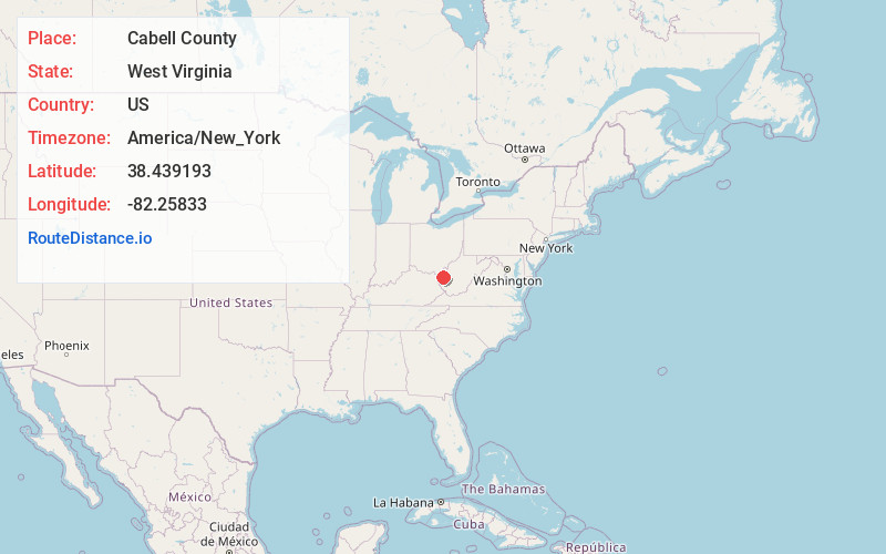
Distance to Cabell County, West Virginia

Calculating Your Route
Just a moment while we process your request...
Location Information
-
Full AddressCabell County, WV
-
Coordinates38.4391927, -82.2583297
-
LocationWest Virginia , US
-
TimezoneAmerica/New_York
-
Current Local Time10:19:25 PM America/New_YorkWednesday, July 2, 2025
-
Page Views0
About Cabell County
Cabell County is a county located in the U.S. state of West Virginia. As of the 2020 census, the population was 94,350, making it West Virginia's fourth most-populous county. Its county seat is Huntington. The county was organized in 1809 and named for William H. Cabell, the Governor of Virginia from 1805 to 1808.


Nearby Places
Found 10 places within 50 miles

Howells Mill
2.1 mi
3.4 km
Howells Mill, WV 25545
Get directions

Ona
2.6 mi
4.2 km
Ona, WV 25545
Get directions
Barboursville
2.8 mi
4.5 km
Barboursville, WV
Get directions
Cox Landing
3.3 mi
5.3 km
Cox Landing, Lesage, WV 25537
Get directions
Yates Crossing
3.7 mi
6.0 km
Yates Crossing, WV 25545
Get directions
Pea Ridge
3.8 mi
6.1 km
Pea Ridge, WV
Get directions
Wilson
4.5 mi
7.2 km
Wilson, WV 25702
Get directions
Martha
4.6 mi
7.4 km
Martha, WV 25504
Get directions

Lesage
5.1 mi
8.2 km
Lesage, WV
Get directions
Hillview
5.5 mi
8.9 km
Hillview, WV 25702
Get directions
Location Links
Local Weather
Weather Information
Coming soon!
Location Map
Static map view of Cabell County, West Virginia
Browse Places by Distance
Places within specific distances from Cabell County
Short Distances
Long Distances
Click any distance to see all places within that range from Cabell County. Distances shown in miles (1 mile ≈ 1.61 kilometers).