Distance to Cable, Ohio

Calculating Your Route
Just a moment while we process your request...
Location Information
-
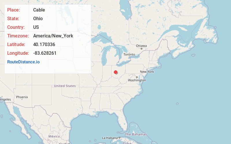
Full AddressCable, OH 43009
-
Coordinates40.1703355, -83.6282613
-
LocationCable , Ohio , US
-
TimezoneAmerica/New_York
-
Current Local Time12:59:06 PM America/New_YorkTuesday, June 10, 2025
-
Page Views0
About Cable
Cable is an unincorporated community in central Wayne Township, Champaign County, Ohio, United States. It has a post office with the ZIP code 43009.
Cable was platted in 1852 by Philander L. Cable, and named for him. The railroad was built through town in 1854.
Nearby Places
Found 10 places within 50 miles

Mingo
2.6 mi
4.2 km
Mingo, OH
Get directions

Fountain Park
4.0 mi
6.4 km
Fountain Park, OH 43084
Get directions
North Lewisburg
5.2 mi
8.4 km
North Lewisburg, OH 43060
Get directions
Woodstock
5.3 mi
8.5 km
Woodstock, OH 43084
Get directions
Mutual
6.4 mi
10.3 km
Mutual, OH
Get directions
Mechanicsburg
7.8 mi
12.6 km
Mechanicsburg, OH 43044
Get directions

Urbana
7.8 mi
12.6 km
Urbana, OH 43078
Get directions
Irwin
8.1 mi
13.0 km
Irwin, OH
Get directions

West Liberty
8.8 mi
14.2 km
West Liberty, OH 43357
Get directions

Pickrelltown
9.1 mi
14.6 km
Pickrelltown, Monroe Township, OH 43360
Get directions
Location Links
Local Weather
Weather Information
Coming soon!
Location Map
Static map view of Cable, Ohio
Browse Places by Distance
Places within specific distances from Cable
Short Distances
Long Distances
Click any distance to see all places within that range from Cable. Distances shown in miles (1 mile ≈ 1.61 kilometers).