Distance to Cable, Minnesota

Calculating Your Route
Just a moment while we process your request...
Location Information
-
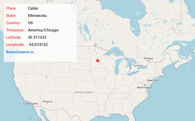
Full AddressCable, MN 56304
-
Coordinates45.5116322, -94.0741523
-
LocationCable , Minnesota , US
-
TimezoneAmerica/Chicago
-
Current Local Time1:21:23 AM America/ChicagoSaturday, June 7, 2025
-
Page Views0
About Cable
Cable is an unincorporated community in Haven Township, Sherburne County, Minnesota, United States. The community is between Clear Lake and St. Cloud along U.S. Highway 10 near Sherburne County Road 65, 42nd Street SE.
Sherburne County Roads 3 and 7 and the St. Cloud Regional Airport are nearby.

Nearby Places
Found 10 places within 50 miles

St Cloud
5.4 mi
8.7 km
St Cloud, MN
Get directions

Clear Lake
5.9 mi
9.5 km
Clear Lake, MN 55319
Get directions

Clearwater
6.5 mi
10.5 km
Clearwater, MN
Get directions

Sauk Rapids
7.1 mi
11.4 km
Sauk Rapids, MN
Get directions

St Augusta
7.3 mi
11.7 km
St Augusta, MN
Get directions

Waite Park
7.9 mi
12.7 km
Waite Park, MN
Get directions

Sartell
10.0 mi
16.1 km
Sartell, MN
Get directions

St Joseph
12.4 mi
20.0 km
St Joseph, MN
Get directions

Santiago
12.5 mi
20.1 km
Santiago, MN
Get directions

Becker
12.8 mi
20.6 km
Becker, MN
Get directions
Location Links
Local Weather
Weather Information
Coming soon!
Location Map
Static map view of Cable, Minnesota
Browse Places by Distance
Places within specific distances from Cable
Short Distances
Long Distances
Click any distance to see all places within that range from Cable. Distances shown in miles (1 mile ≈ 1.61 kilometers).