Distance to Cabo Rojo

Calculating Your Route
Just a moment while we process your request...
Location Information
-
Full AddressCabo Rojo, Dominican Republic
-
Coordinates17.900687, -71.6317359
-
LocationCabo Rojo , DO
-
TimezoneAmerica/Santo_Domingo
-
Current Local Time3:44:53 PM America/Santo_DomingoTuesday, June 3, 2025
-
Page Views0
About Cabo Rojo
Literally meaning "Red Cape", is both a cape on the southwestern coast of the Dominican Republic, and a beach on the same location. More specifically, it belongs to Pedernales Province, the southernmost province of the country.


Location Links
Local Weather
Weather Information
Coming soon!
Location Map
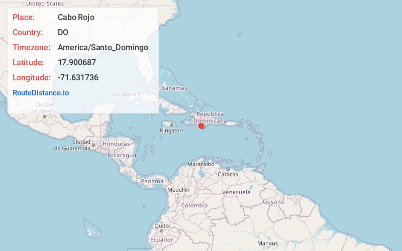
Static map view of Cabo Rojo
Browse Places by Distance
Places within specific distances from Cabo Rojo
Short Distances
Long Distances
Click any distance to see all places within that range from Cabo Rojo. Distances shown in miles (1 mile ≈ 1.61 kilometers).