Distance to Cabo San Lucas, Baja California Sur

Calculating Your Route
Just a moment while we process your request...
Location Information
-
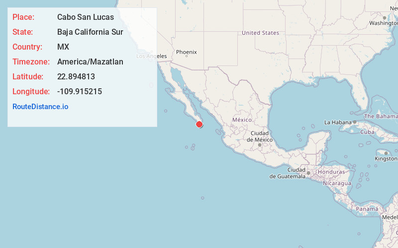
Full AddressCabo San Lucas, BCS, Mexico
-
Coordinates22.8948129, -109.9152149
-
LocationCabo San Lucas , Baja California Sur , MX
-
TimezoneAmerica/Mazatlan
-
Current Local Time3:09:17 PM America/MazatlanTuesday, June 3, 2025
-
Page Views0
About Cabo San Lucas
Cabo San Lucas, a resort city on the southern tip of Mexico’s Baja California peninsula, is known for its beaches, water-based activities and nightlife. Playa El Médano is Cabo’s main beach, with outdoor restaurants and numerous bars. Past the marina is Land's End promontory, site of Playa del Amor (Lover's Beach) and El Arco, a natural archway in the seacliffs.


Location Links
Local Weather
Weather Information
Coming soon!
Location Map
Static map view of Cabo San Lucas, Baja California Sur
Browse Places by Distance
Places within specific distances from Cabo San Lucas
Short Distances
Long Distances
Click any distance to see all places within that range from Cabo San Lucas. Distances shown in miles (1 mile ≈ 1.61 kilometers).