Distance to Cabot, Vermont

Calculating Your Route
Just a moment while we process your request...
Location Information
-
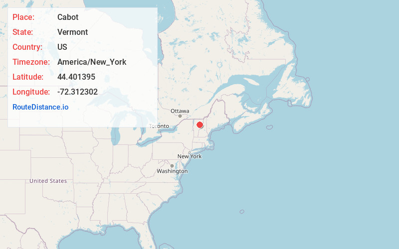
Full AddressCabot, VT
-
Coordinates44.4013947, -72.3123023
-
LocationCabot , Vermont , US
-
TimezoneAmerica/New_York
-
Current Local Time5:05:36 PM America/New_YorkFriday, May 30, 2025
-
Page Views0
About Cabot
Cabot is a six-mile-square New England town located in the northeast corner of Washington County, Vermont, United States. The population was 1,443 at the 2020 census. It contains the unincorporated villages of Cabot Village, Cabot Plain, South Cabot, East Cabot, Lower Cabot, and West Hill.

Nearby Places
Found 10 places within 50 miles

Calais
8.0 mi
12.9 km
Calais, VT
Get directions

Danville
8.5 mi
13.7 km
Danville, VT
Get directions

Hardwick
9.9 mi
15.9 km
Hardwick, VT
Get directions

East Montpelier
12.5 mi
20.1 km
East Montpelier, VT
Get directions

St Johnsbury
14.7 mi
23.7 km
St Johnsbury, VT
Get directions

Montpelier
16.3 mi
26.2 km
Montpelier, VT 05602
Get directions

Barre
17.0 mi
27.4 km
Barre, VT 05641
Get directions

Lyndon
18.3 mi
29.5 km
Lyndon, VT
Get directions

Berlin
18.7 mi
30.1 km
Berlin, VT
Get directions

Morristown
18.8 mi
30.3 km
Morristown, VT
Get directions
Location Links
Local Weather
Weather Information
Coming soon!
Location Map
Static map view of Cabot, Vermont
Browse Places by Distance
Places within specific distances from Cabot
Short Distances
Long Distances
Click any distance to see all places within that range from Cabot. Distances shown in miles (1 mile ≈ 1.61 kilometers).