Distance to Cairo, Georgia

Calculating Your Route
Just a moment while we process your request...
Location Information
-
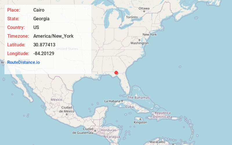
Full AddressCairo, GA
-
Coordinates30.8774132, -84.2012897
-
LocationCairo , Georgia , US
-
TimezoneAmerica/New_York
-
Current Local Time3:42:16 PM America/New_YorkFriday, June 13, 2025
-
Website
-
Page Views0
About Cairo
Cairo is a city in Grady County, Georgia, United States. As of the 2020 census, the city had a population of 10,179. The city is the county seat of Grady County.


Nearby Places
Found 7 places within 50 miles

Thomasville
13.5 mi
21.7 km
Thomasville, GA
Get directions

Bradfordville
21.9 mi
35.2 km
Bradfordville, FL
Get directions

Bainbridge
22.3 mi
35.9 km
Bainbridge, GA
Get directions

Midway
30.4 mi
48.9 km
Midway, FL
Get directions

Tallahassee
30.7 mi
49.4 km
Tallahassee, FL
Get directions

Moultrie
32.1 mi
51.7 km
Moultrie, GA
Get directions

Albany
48.5 mi
78.1 km
Albany, GA
Get directions
Location Links
Local Weather
Weather Information
Coming soon!
Location Map
Static map view of Cairo, Georgia
Browse Places by Distance
Places within specific distances from Cairo
Short Distances
Long Distances
Click any distance to see all places within that range from Cairo. Distances shown in miles (1 mile ≈ 1.61 kilometers).