Distance to Cairo, Illinois

Calculating Your Route
Just a moment while we process your request...
Location Information
-
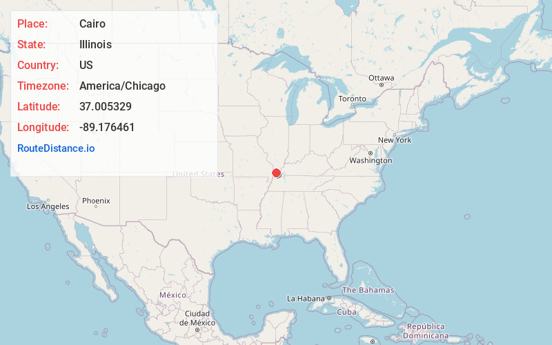
Full AddressCairo, IL 62914
-
Coordinates37.0053293, -89.1764608
-
LocationCairo , Illinois , US
-
TimezoneAmerica/Chicago
-
Current Local Time10:05:51 AM America/ChicagoTuesday, June 24, 2025
-
Page Views0
About Cairo
Cairo is the southernmost city in the U.S. state of Illinois and the county seat of Alexander County. A river city, Cairo has the lowest elevation of any location in Illinois and is the only Illinois city to be surrounded by levees.


Nearby Places
Found 10 places within 50 miles

Charleston
11.2 mi
18.0 km
Charleston, MO 63834
Get directions

East Prairie
19.4 mi
31.2 km
East Prairie, MO 63845
Get directions

Scott City
24.1 mi
38.8 km
Scott City, MO
Get directions

Sikeston
24.4 mi
39.3 km
Sikeston, MO 63801
Get directions

Metropolis
26.5 mi
42.6 km
Metropolis, IL
Get directions

Massac
27.1 mi
43.6 km
Massac, KY 42001
Get directions

Cape Girardeau
28.0 mi
45.1 km
Cape Girardeau, MO
Get directions

Chaffee
29.0 mi
46.7 km
Chaffee, MO 63740
Get directions

Hickman
30.0 mi
48.3 km
Hickman, KY 42050
Get directions
Hendron
30.3 mi
48.8 km
Hendron, KY 42003
Get directions
Location Links
Local Weather
Weather Information
Coming soon!
Location Map
Static map view of Cairo, Illinois
Browse Places by Distance
Places within specific distances from Cairo
Short Distances
Long Distances
Click any distance to see all places within that range from Cairo. Distances shown in miles (1 mile ≈ 1.61 kilometers).