Distance to Cairo, West Virginia

Calculating Your Route
Just a moment while we process your request...
Location Information
-
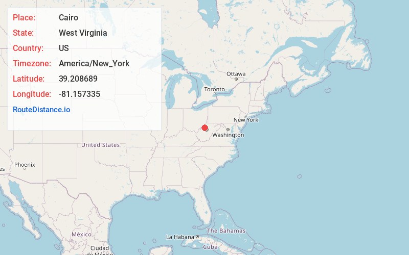
Full AddressCairo, WV 26337
-
Coordinates39.2086894, -81.1573349
-
LocationCairo , West Virginia , US
-
TimezoneAmerica/New_York
-
Current Local Time5:31:20 PM America/New_YorkWednesday, June 18, 2025
-
Page Views0
About Cairo
Cairo is a town in Ritchie County, West Virginia, United States, along West Virginia Route 31, the North Fork of the Hughes River, and the North Bend Rail Trail. The population was 174 at the 2020 census.


Nearby Places
Found 10 places within 50 miles

Harrisville
5.7 mi
9.2 km
Harrisville, WV 26362
Get directions

Ellenboro
6.6 mi
10.6 km
Ellenboro, WV 26346
Get directions
Pullman
11.2 mi
18.0 km
Pullman, WV 26421
Get directions

Pennsboro
11.4 mi
18.3 km
Pennsboro, WV 26415
Get directions
Belmont
13.0 mi
20.9 km
Belmont, WV
Get directions

Newport
13.1 mi
21.1 km
Newport, OH 45768
Get directions
St Marys
13.2 mi
21.2 km
St Marys, WV 26170
Get directions
Newark
14.3 mi
23.0 km
Newark, WV 26143
Get directions
Waverly
14.9 mi
24.0 km
Waverly, WV
Get directions

Elizabeth
16.2 mi
26.1 km
Elizabeth, WV 26143
Get directions
Location Links
Local Weather
Weather Information
Coming soon!
Location Map
Static map view of Cairo, West Virginia
Browse Places by Distance
Places within specific distances from Cairo
Short Distances
Long Distances
Click any distance to see all places within that range from Cairo. Distances shown in miles (1 mile ≈ 1.61 kilometers).