Distance to Calamus, Iowa

Calculating Your Route
Just a moment while we process your request...
Location Information
-
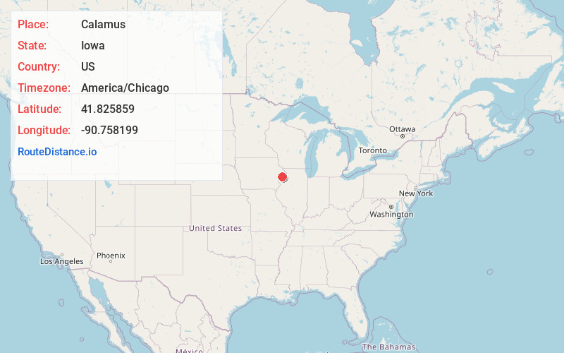
Full AddressCalamus, IA 52729
-
Coordinates41.8258585, -90.7581987
-
LocationCalamus , Iowa , US
-
TimezoneAmerica/Chicago
-
Current Local Time12:28:09 PM America/ChicagoFriday, June 6, 2025
-
Page Views0
About Calamus
Calamus is a small town in Clinton County, Iowa, United States, located on the historical Lincoln Highway, which was the first transcontinental highway for automobiles across the U.S..
Calamus is the only town in Olive Township and had a population of 356 at the 2020 census, which was a 9.6% decrease from 2000.

Nearby Places
Found 10 places within 50 miles

Wheatland
4.1 mi
6.6 km
Wheatland, IA 52777
Get directions

Grand Mound
5.7 mi
9.2 km
Grand Mound, IA
Get directions

Lowden
8.9 mi
14.3 km
Lowden, IA 52255
Get directions

Lost Nation
10.0 mi
16.1 km
Lost Nation, IA 52254
Get directions

DeWitt
11.3 mi
18.2 km
DeWitt, IA 52742
Get directions
Bennett
12.6 mi
20.3 km
Bennett, IA 52721
Get directions

Long Grove
12.7 mi
20.4 km
Long Grove, IA
Get directions

Park View
14.2 mi
22.9 km
Park View, IA
Get directions

Delmar
14.5 mi
23.3 km
Delmar, IA
Get directions
Eldridge
14.6 mi
23.5 km
Eldridge, IA 52748
Get directions
Location Links
Local Weather
Weather Information
Coming soon!
Location Map
Static map view of Calamus, Iowa
Browse Places by Distance
Places within specific distances from Calamus
Short Distances
Long Distances
Click any distance to see all places within that range from Calamus. Distances shown in miles (1 mile ≈ 1.61 kilometers).