Distance to Calder, Idaho

Calculating Your Route
Just a moment while we process your request...
Location Information
-
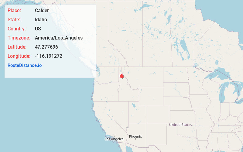
Full AddressCalder, ID 83808
-
Coordinates47.2776956, -116.1912715
-
LocationCalder , Idaho , US
-
TimezoneAmerica/Los_Angeles
-
Current Local Time1:53:15 AM America/Los_AngelesWednesday, June 18, 2025
-
Page Views0
About Calder
Calder is an unincorporated community in Shoshone County, Idaho, United States. Calder is located on the Saint Joe River 18 miles east of St. Maries. Calder has a post office with ZIP code 83808.
Nearby Places
Found 10 places within 50 miles

Herrick
4.0 mi
6.4 km
Herrick, ID 83808
Get directions

Fernwood
14.8 mi
23.8 km
Fernwood, ID 83830
Get directions

Wardner
17.1 mi
27.5 km
Wardner, ID 83837
Get directions

St Maries
17.6 mi
28.3 km
St Maries, ID 83861
Get directions

Osburn
18.2 mi
29.3 km
Osburn, ID
Get directions

Pinehurst
18.2 mi
29.3 km
Pinehurst, ID 83850
Get directions

Kellogg
18.3 mi
29.5 km
Kellogg, ID
Get directions

Smelterville
18.3 mi
29.5 km
Smelterville, ID 83868
Get directions

Wallace
18.3 mi
29.5 km
Wallace, ID 83873
Get directions

Silverton
18.5 mi
29.8 km
Silverton, ID
Get directions
Location Links
Local Weather
Weather Information
Coming soon!
Location Map
Static map view of Calder, Idaho
Browse Places by Distance
Places within specific distances from Calder
Short Distances
Long Distances
Click any distance to see all places within that range from Calder. Distances shown in miles (1 mile ≈ 1.61 kilometers).