Distance to Calebee, Alabama

Calculating Your Route
Just a moment while we process your request...
Location Information
-
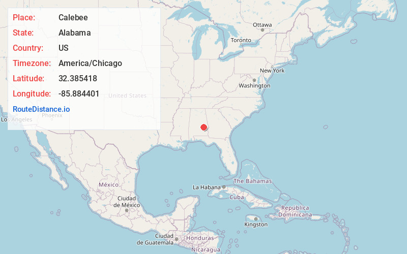
Full AddressCalebee, AL 36075
-
Coordinates32.3854175, -85.8844011
-
LocationAlabama , US
-
TimezoneAmerica/Chicago
-
Current Local Time5:14:15 PM America/ChicagoThursday, June 19, 2025
-
Page Views0
Nearby Places
Found 10 places within 50 miles

Shorter
4.0 mi
6.4 km
Shorter, AL
Get directions

Milstead
4.0 mi
6.4 km
Milstead, AL 36075
Get directions
Hornady
5.6 mi
9.0 km
Hornady, AL 36083
Get directions
Liverpool
6.3 mi
10.1 km
Liverpool, AL 36083
Get directions
Franklin
8.0 mi
12.9 km
Franklin, AL 36083
Get directions
Mt Andrew
9.1 mi
14.6 km
Mt Andrew, AL 36083
Get directions
Brassell
9.1 mi
14.6 km
Brassell, AL 36064
Get directions
Cecil
9.2 mi
14.8 km
Cecil, AL 36013
Get directions
Buckville
9.4 mi
15.1 km
Buckville, AL 36078
Get directions

Waugh
9.6 mi
15.4 km
Waugh, AL 36064
Get directions
Location Links
Local Weather
Weather Information
Coming soon!
Location Map
Static map view of Calebee, Alabama
Browse Places by Distance
Places within specific distances from Calebee
Short Distances
Long Distances
Click any distance to see all places within that range from Calebee. Distances shown in miles (1 mile ≈ 1.61 kilometers).