Distance to Calhoun, Kentucky

Calculating Your Route
Just a moment while we process your request...
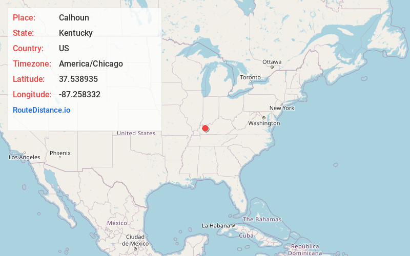
Location Information
-
Full AddressCalhoun, KY 42327
-
Coordinates37.5389351, -87.2583316
-
LocationCalhoun , Kentucky , US
-
TimezoneAmerica/Chicago
-
Current Local Time4:03:12 PM America/ChicagoFriday, June 6, 2025
-
Page Views0
About Calhoun
Calhoun is a home rule-class city in McLean County, Kentucky, United States. The population was 725 at the 2020 census. It is the county seat of McLean County. It is included in the Owensboro metropolitan area.


Nearby Places
Found 10 places within 50 miles

Livermore
7.6 mi
12.2 km
Livermore, KY
Get directions

Hanson
14.8 mi
23.8 km
Hanson, KY
Get directions

Pleasant Ridge
15.4 mi
24.8 km
Pleasant Ridge, KY 42378
Get directions
Masonville
15.4 mi
24.8 km
Masonville, KY 42376
Get directions

Sebree
15.5 mi
24.9 km
Sebree, KY 42455
Get directions

Owensboro
17.7 mi
28.5 km
Owensboro, KY
Get directions

Central City
18.5 mi
29.8 km
Central City, KY 42330
Get directions

Madisonville
19.7 mi
31.7 km
Madisonville, KY 42431
Get directions

Philpot
19.9 mi
32.0 km
Philpot, KY
Get directions

Hartford
20.1 mi
32.3 km
Hartford, KY
Get directions
Location Links
Local Weather
Weather Information
Coming soon!
Location Map
Static map view of Calhoun, Kentucky
Browse Places by Distance
Places within specific distances from Calhoun
Short Distances
Long Distances
Click any distance to see all places within that range from Calhoun. Distances shown in miles (1 mile ≈ 1.61 kilometers).