Distance to Calmar, Iowa

Calculating Your Route
Just a moment while we process your request...
Location Information
-
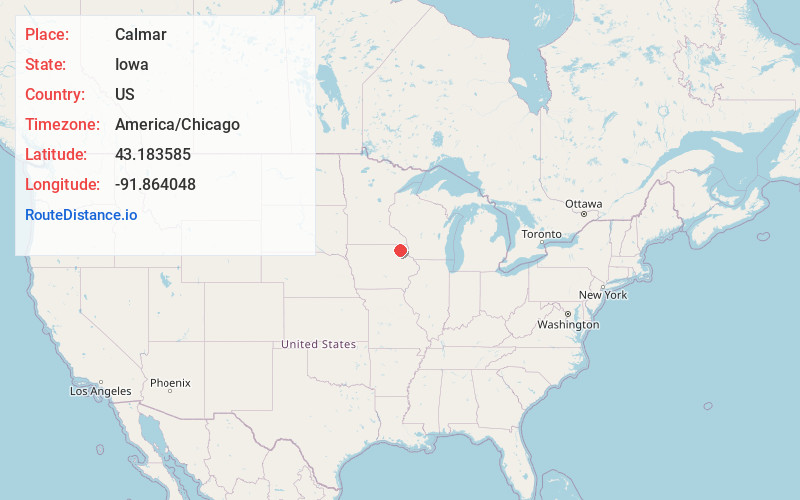
Full AddressCalmar, IA 52132
-
Coordinates43.1835847, -91.8640482
-
LocationCalmar , Iowa , US
-
TimezoneAmerica/Chicago
-
Current Local Time12:10:51 AM America/ChicagoWednesday, June 25, 2025
-
Page Views0
About Calmar
Calmar is a city in Winneshiek County, Iowa, United States. The population was 1,125 at the 2020 census. It is at the junction of U.S. Route 52 and State highways 150 and 24, with both state routes terminating in Calmar.


Nearby Places
Found 10 places within 50 miles

Decorah
9.2 mi
14.8 km
Decorah, IA 52101
Get directions

West Union
15.5 mi
24.9 km
West Union, IA 52175
Get directions

Postville
16.4 mi
26.4 km
Postville, IA 52162
Get directions

Cresco
18.6 mi
29.9 km
Cresco, IA 52136
Get directions

Waukon
20.4 mi
32.8 km
Waukon, IA 52172
Get directions

Fredericksburg
22.7 mi
36.5 km
Fredericksburg, IA 50630
Get directions

Fayette
23.8 mi
38.3 km
Fayette, IA 52142
Get directions

New Hampton
24.4 mi
39.3 km
New Hampton, IA 50659
Get directions

Monona
25.6 mi
41.2 km
Monona, IA 52159
Get directions

Sumner
25.9 mi
41.7 km
Sumner, IA 50674
Get directions
Location Links
Local Weather
Weather Information
Coming soon!
Location Map
Static map view of Calmar, Iowa
Browse Places by Distance
Places within specific distances from Calmar
Short Distances
Long Distances
Click any distance to see all places within that range from Calmar. Distances shown in miles (1 mile ≈ 1.61 kilometers).