Distance to Calumet, Pennsylvania

Calculating Your Route
Just a moment while we process your request...
Location Information
-
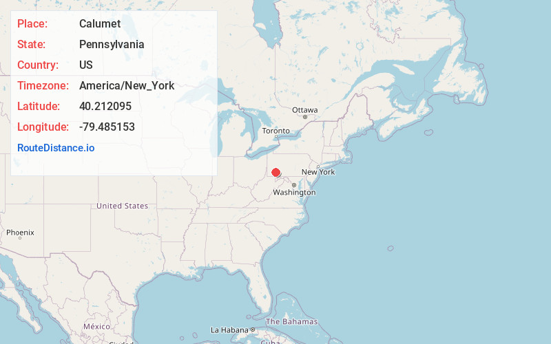
Full AddressCalumet, PA
-
Coordinates40.2120945, -79.4851529
-
LocationCalumet , Pennsylvania , US
-
TimezoneAmerica/New_York
-
Current Local Time10:26:08 AM America/New_YorkWednesday, June 4, 2025
-
Page Views0
About Calumet
Calumet is a census-designated place in Mount Pleasant Township, Westmoreland County, Pennsylvania, United States.
Nearby Places
Found 10 places within 50 miles

Youngwood
5.2 mi
8.4 km
Youngwood, PA
Get directions

Mt Pleasant
5.3 mi
8.5 km
Mt Pleasant, PA 15666
Get directions

South Greensburg
5.6 mi
9.0 km
South Greensburg, PA 15601
Get directions

Unity Township
6.0 mi
9.7 km
Unity Township, PA
Get directions

New Stanton
6.6 mi
10.6 km
New Stanton, PA
Get directions

Greensburg
6.8 mi
10.9 km
Greensburg, PA 15601
Get directions

East Huntingdon Township
7.0 mi
11.3 km
East Huntingdon Township, PA
Get directions
Lawson Heights
7.5 mi
12.1 km
Lawson Heights, PA 15650
Get directions

Bullskin Township
8.1 mi
13.0 km
Bullskin Township, PA
Get directions

Donegal
8.8 mi
14.2 km
Donegal, PA
Get directions
Location Links
Local Weather
Weather Information
Coming soon!
Location Map
Static map view of Calumet, Pennsylvania
Browse Places by Distance
Places within specific distances from Calumet
Short Distances
Long Distances
Click any distance to see all places within that range from Calumet. Distances shown in miles (1 mile ≈ 1.61 kilometers).