Distance to Calumet, Michigan

Calculating Your Route
Just a moment while we process your request...
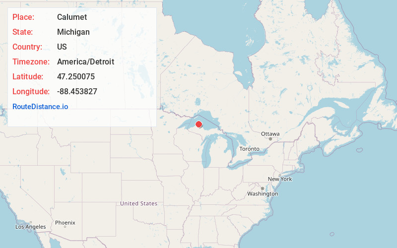
Location Information
-
Full AddressCalumet, MI 49913
-
Coordinates47.2500752, -88.4538271
-
LocationCalumet , Michigan , US
-
TimezoneAmerica/Detroit
-
Current Local Time3:01:29 PM America/DetroitSaturday, June 7, 2025
-
Page Views0
About Calumet
Calumet is a village in the Upper Peninsula of the U.S. state of Michigan. The village is located within Calumet Township, Houghton County, and had a population of 621 at the 2020 census.
Calumet was once the center of Michigan's copper mining industry.


Nearby Places
Found 10 places within 50 miles

Laurium
1.0 mi
1.6 km
Laurium, MI 49913
Get directions

Lake Linden
4.4 mi
7.1 km
Lake Linden, MI 49945
Get directions
Hubbell
5.4 mi
8.7 km
Hubbell, MI
Get directions

Dollar Bay
9.3 mi
15.0 km
Dollar Bay, MI
Get directions

Hancock
10.4 mi
16.7 km
Hancock, MI 49930
Get directions

Houghton
10.4 mi
16.7 km
Houghton, MI
Get directions

Chassell
15.7 mi
25.3 km
Chassell, MI 49916
Get directions

Baraga
32.6 mi
52.5 km
Baraga, MI 49908
Get directions

L'Anse
34.1 mi
54.9 km
L'Anse, MI 49946
Get directions

Ontonagon
48.2 mi
77.6 km
Ontonagon, MI 49953
Get directions
Location Links
Local Weather
Weather Information
Coming soon!
Location Map
Static map view of Calumet, Michigan
Browse Places by Distance
Places within specific distances from Calumet
Short Distances
Long Distances
Click any distance to see all places within that range from Calumet. Distances shown in miles (1 mile ≈ 1.61 kilometers).