Distance to Calva, Arizona

Calculating Your Route
Just a moment while we process your request...
Location Information
-
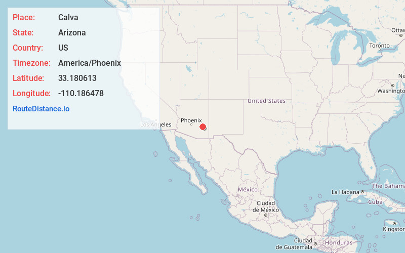
Full AddressCalva, AZ 85530
-
Coordinates33.1806128, -110.1864783
-
LocationCalva , Arizona , US
-
TimezoneAmerica/Phoenix
-
Current Local Time6:42:25 AM America/PhoenixFriday, June 20, 2025
-
Page Views0
About Calva
Calva is a populated place situated in Graham County, Arizona, United States.
Nearby Places
Found 10 places within 50 miles

Bylas
4.6 mi
7.4 km
Bylas, AZ 85530
Get directions

Natches
6.9 mi
11.1 km
Natches, AZ 85530
Get directions

Fort Thomas
16.2 mi
26.1 km
Fort Thomas, AZ
Get directions

Peridot
17.6 mi
28.3 km
Peridot, AZ
Get directions

San Carlos
19.5 mi
31.4 km
San Carlos, AZ 85550
Get directions
Cork
21.9 mi
35.2 km
Cork, AZ 85543
Get directions
Glenbar
26.3 mi
42.3 km
Glenbar, AZ 85543
Get directions

Bryce
27.4 mi
44.1 km
Bryce, AZ 85543
Get directions
Dublin
28.3 mi
45.5 km
Dublin, Pima, AZ 85543
Get directions

Pima
28.6 mi
46.0 km
Pima, AZ 85543
Get directions
Location Links
Local Weather
Weather Information
Coming soon!
Location Map
Static map view of Calva, Arizona
Browse Places by Distance
Places within specific distances from Calva
Short Distances
Long Distances
Click any distance to see all places within that range from Calva. Distances shown in miles (1 mile ≈ 1.61 kilometers).