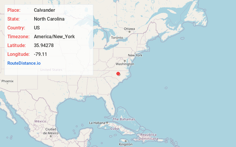
Distance to Calvander, North Carolina

Calculating Your Route
Just a moment while we process your request...
Location Information
-
Full AddressCalvander, NC 27516
-
Coordinates35.94278, -79.11
-
LocationCalvander , North Carolina , US
-
TimezoneAmerica/New_York
-
Current Local Time7:17:33 PM America/New_YorkTuesday, June 17, 2025
-
Page Views0
About Calvander
Calvander is a rural unincorporated community in southeastern Orange County, North Carolina, United States, located north-northwest of Carrboro. It lies at the intersection of Old Highway 86 and Homestead/Dairyland Road.
Nearby Places
Found 10 places within 50 miles

Plantation Acres
1.6 mi
2.6 km
Plantation Acres, Carrboro, NC 27510
Get directions
Eubanks
2.7 mi
4.3 km
Eubanks, NC 27516
Get directions

Carrboro
3.0 mi
4.8 km
Carrboro, NC
Get directions
Dodsons Crossroads
3.6 mi
5.8 km
Dodsons Crossroads, NC 27278
Get directions

Chapel Hill
3.7 mi
6.0 km
Chapel Hill, NC
Get directions
Tenney Circle
4.0 mi
6.4 km
Tenney Circle, Chapel Hill, NC 27514
Get directions
Blackwood
4.0 mi
6.4 km
Blackwood, NC 27514
Get directions
Davie Circle
4.4 mi
7.1 km
Davie Circle, Chapel Hill, NC 27514
Get directions
White Cross
4.6 mi
7.4 km
White Cross, NC 27516
Get directions
Dogwood Acres
4.7 mi
7.6 km
Dogwood Acres, NC 27516
Get directions
Location Links
Local Weather
Weather Information
Coming soon!
Location Map
Static map view of Calvander, North Carolina
Browse Places by Distance
Places within specific distances from Calvander
Short Distances
Long Distances
Click any distance to see all places within that range from Calvander. Distances shown in miles (1 mile ≈ 1.61 kilometers).