Distance to Camelia, Kentucky

Calculating Your Route
Just a moment while we process your request...
Location Information
-
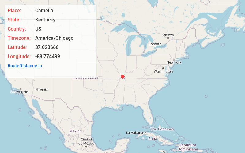
Full AddressCamelia, KY 42086
-
Coordinates37.0236657, -88.7744988
-
LocationCamelia , Kentucky , US
-
TimezoneAmerica/Chicago
-
Current Local Time11:57:54 PM America/ChicagoSaturday, June 21, 2025
-
Page Views0

Nearby Places
Found 10 places within 50 miles

West Future City
3.4 mi
5.5 km
West Future City, KY 42053
Get directions

West Paducah
4.4 mi
7.1 km
West Paducah, KY 42086
Get directions
Heath
4.4 mi
7.1 km
Heath, KY 42086
Get directions
Massac
4.9 mi
7.9 km
Massac, KY 42001
Get directions
Ceredo
5.2 mi
8.4 km
Ceredo, KY 42053
Get directions
Chiles
6.4 mi
10.3 km
Chiles, KY 42086
Get directions
Cimota City
6.5 mi
10.5 km
Cimota City, KY 42053
Get directions
Gage
6.7 mi
10.8 km
Gage, KY 42056
Get directions

Kevil
7.5 mi
12.1 km
Kevil, KY 42053
Get directions
Cecil
8.1 mi
13.0 km
Cecil, KY 42001
Get directions
Location Links
Local Weather
Weather Information
Coming soon!
Location Map
Static map view of Camelia, Kentucky
Browse Places by Distance
Places within specific distances from Camelia
Short Distances
Long Distances
Click any distance to see all places within that range from Camelia. Distances shown in miles (1 mile ≈ 1.61 kilometers).