Distance to Camelot, North Carolina

Calculating Your Route
Just a moment while we process your request...
Location Information
-
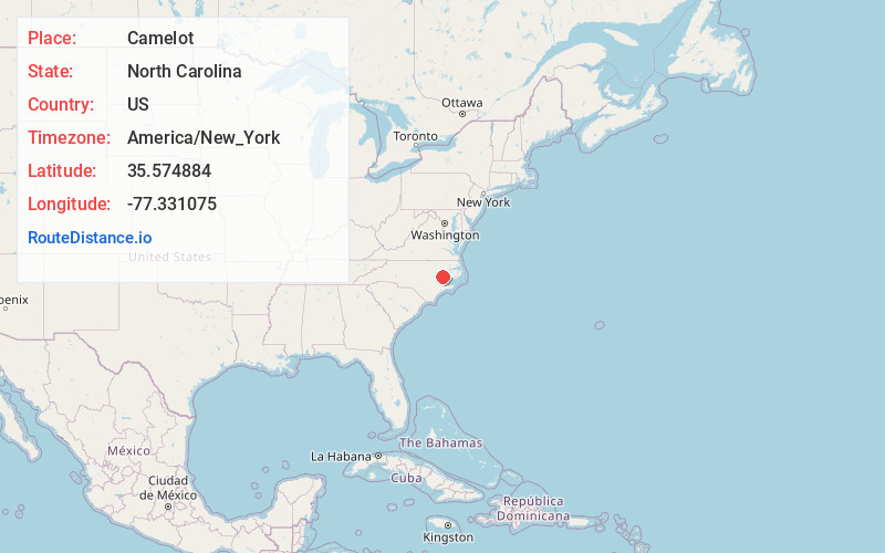
Full AddressCamelot, NC 27858
-
Coordinates35.5748839, -77.3310745
-
LocationNorth Carolina , US
-
TimezoneAmerica/New_York
-
Current Local Time10:26:33 PM America/New_YorkTuesday, June 17, 2025
-
Page Views0
Nearby Places
Found 10 places within 50 miles

Dellwood
1.4 mi
2.3 km
Dellwood, Greenville, NC 27858
Get directions
Rock Springs
2.7 mi
4.3 km
Rock Springs, Greenville, NC 27858
Get directions
Simpson
3.0 mi
4.8 km
Simpson, NC
Get directions

Greenville
3.5 mi
5.6 km
Greenville, NC
Get directions
Galloway Crossroads
4.4 mi
7.1 km
Galloway Crossroads, NC 27858
Get directions

Winterville
5.1 mi
8.2 km
Winterville, NC
Get directions
House
5.8 mi
9.3 km
House, NC 27834
Get directions
Haddocks Crossroads
5.9 mi
9.5 km
Haddocks Crossroads, NC 28590
Get directions
Frog Level
6.2 mi
10.0 km
Frog Level, NC 27834
Get directions
Redallia
6.7 mi
10.8 km
Redallia, NC 28513
Get directions
Location Links
Local Weather
Weather Information
Coming soon!
Location Map
Static map view of Camelot, North Carolina
Browse Places by Distance
Places within specific distances from Camelot
Short Distances
Long Distances
Click any distance to see all places within that range from Camelot. Distances shown in miles (1 mile ≈ 1.61 kilometers).