Distance to and from Camp Blanding Joint Training Center, Florida
Camp Blanding Joint Training Center, 5629 FL-16 W, Starke, FL 32091
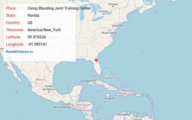
Starke
Florida
US
America/New_York
Location Information
-
Full AddressCamp Blanding Joint Training Center, 5629 FL-16 W, Starke, FL 32091
-
Coordinates29.9792264, -81.9851609
-
Street5629 FL-16 W
-
LocationStarke , Florida , US
-
TimezoneAmerica/New_York
-
Current Local Time12:16:48 PM America/New_YorkSaturday, May 3, 2025
-
Page Views0
Directions to Nearest Cities


Nearby Places
Found 10 places within 50 miles

Kingsley Beach
0.6 mi
1.0 km
Kingsley Beach, FL 32091
Get directions
Kingsley Village
1.9 mi
3.1 km
Kingsley Village, FL 32091
Get directions
Saxton
6.3 mi
10.1 km
Saxton, FL 32058
Get directions

Lawtey
6.9 mi
11.1 km
Lawtey, FL 32058
Get directions

Starke
7.8 mi
12.6 km
Starke, FL 32091
Get directions
Clay Hill
7.9 mi
12.7 km
Clay Hill, FL 32068
Get directions
Belmore
8.2 mi
13.2 km
Belmore, FL 32656
Get directions

Middleburg
9.7 mi
15.6 km
Middleburg, FL 32068
Get directions
Heilbronn
10.3 mi
16.6 km
Heilbronn, FL 32091
Get directions

Penney Farms
10.5 mi
16.9 km
Penney Farms, FL 32043
Get directions
Kingsley Beach
0.6 mi
1.0 km
Kingsley Beach, FL 32091
Kingsley Village
1.9 mi
3.1 km
Kingsley Village, FL 32091
Saxton
6.3 mi
10.1 km
Saxton, FL 32058
Lawtey
6.9 mi
11.1 km
Lawtey, FL 32058
Starke
7.8 mi
12.6 km
Starke, FL 32091
Clay Hill
7.9 mi
12.7 km
Clay Hill, FL 32068
Belmore
8.2 mi
13.2 km
Belmore, FL 32656
Middleburg
9.7 mi
15.6 km
Middleburg, FL 32068
Heilbronn
10.3 mi
16.6 km
Heilbronn, FL 32091
Penney Farms
10.5 mi
16.9 km
Penney Farms, FL 32043
Location Links
Local Weather
Weather Information
Coming soon!
Location Map
Static map view of Camp Blanding Joint Training Center, Florida
Browse Places by Distance
Places within specific distances from Camp Blanding Joint Training Center
Short Distances
Long Distances
Click any distance to see all places within that range from Camp Blanding Joint Training Center. Distances shown in miles (1 mile ≈ 1.61 kilometers).