Distance to Camp Chappa Challa, Massachusetts

Calculating Your Route
Just a moment while we process your request...
Location Information
-
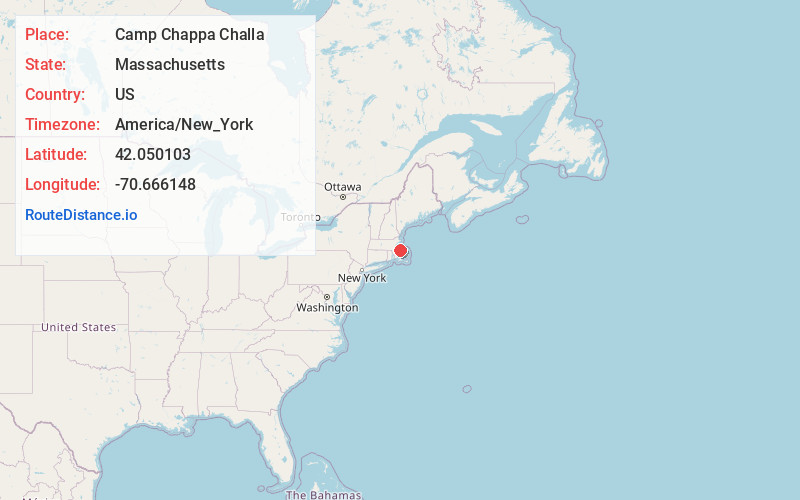
Full AddressCamp Chappa Challa, Duxbury, MA 02332
-
Coordinates42.0501026, -70.6661478
-
NeighborhoodDuxbury
-
LocationDuxbury , Massachusetts , US
-
TimezoneAmerica/New_York
-
Current Local Time1:12:27 PM America/New_YorkSaturday, June 28, 2025
-
Page Views0
Nearby Places
Found 10 places within 50 miles

Duxbury
0.8 mi
1.3 km
Duxbury, MA
Get directions

Tinkertown
3.3 mi
5.3 km
Tinkertown, Duxbury, MA 02332
Get directions

Marshfield
3.7 mi
6.0 km
Marshfield, MA
Get directions
Miramar
4.1 mi
6.6 km
Miramar, Duxbury, MA 02332
Get directions

Kingston
5.0 mi
8.0 km
Kingston, MA
Get directions

Plymouth
6.3 mi
10.1 km
Plymouth, MA
Get directions
Ferry Hill
6.4 mi
10.3 km
Ferry Hill, Marshfield, MA 02050
Get directions

Pembroke
7.5 mi
12.1 km
Pembroke, MA
Get directions
Camp Mishannock
7.5 mi
12.1 km
Camp Mishannock, Kingston, MA 02364
Get directions
Fourth Cliff
7.9 mi
12.7 km
Fourth Cliff, Scituate, MA 02050
Get directions
Location Links
Local Weather
Weather Information
Coming soon!
Location Map
Static map view of Camp Chappa Challa, Massachusetts
Browse Places by Distance
Places within specific distances from Camp Chappa Challa
Short Distances
Long Distances
Click any distance to see all places within that range from Camp Chappa Challa. Distances shown in miles (1 mile ≈ 1.61 kilometers).