Distance to Camp Lacupolis, Minnesota

Calculating Your Route
Just a moment while we process your request...
Location Information
-
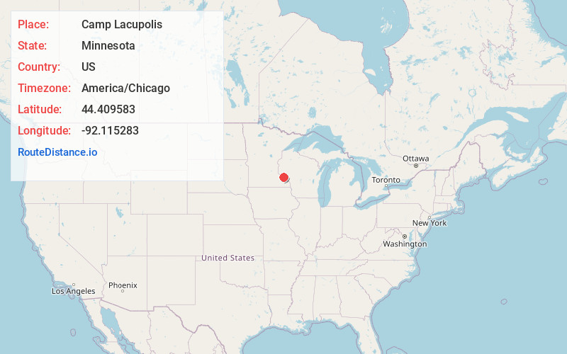
Full AddressCamp Lacupolis, MN 55041
-
Coordinates44.4095832, -92.1152831
-
LocationCamp Lacupolis , Minnesota , US
-
TimezoneAmerica/Chicago
-
Current Local Time10:57:24 AM America/ChicagoThursday, June 19, 2025
-
Page Views0
About Camp Lacupolis
Camp Lacupolis is an unincorporated community in Pepin Township, Wabasha County, Minnesota, United States, along the Mississippi River and Lake Pepin.
The community is located between Lake City and Wabasha along U.S. Highway 61 near 223rd Avenue.
Nearby Places
Found 10 places within 50 miles

Reads Landing
1.9 mi
3.1 km
Reads Landing, MN 55968
Get directions

Maple Springs
2.4 mi
3.9 km
Maple Springs, MN 55041
Get directions

Pepin
2.7 mi
4.3 km
Pepin, WI 54759
Get directions

Trevino
2.8 mi
4.5 km
Trevino, WI 54756
Get directions
Lakeport
4.2 mi
6.8 km
Lakeport, Pepin, WI 54759
Get directions
Dumfries
4.5 mi
7.2 km
Dumfries, MN 55981
Get directions

Wabasha
5.1 mi
8.2 km
Wabasha, MN 55981
Get directions

Nelson
5.3 mi
8.5 km
Nelson, WI 54756
Get directions

Lake City
8.0 mi
12.9 km
Lake City, MN 55041
Get directions
Misha Mokwa
8.0 mi
12.9 km
Misha Mokwa, Nelson, WI 54756
Get directions
Location Links
Local Weather
Weather Information
Coming soon!
Location Map
Static map view of Camp Lacupolis, Minnesota
Browse Places by Distance
Places within specific distances from Camp Lacupolis
Short Distances
Long Distances
Click any distance to see all places within that range from Camp Lacupolis. Distances shown in miles (1 mile ≈ 1.61 kilometers).