Distance to Camp Nelson, California

Calculating Your Route
Just a moment while we process your request...
Location Information
-
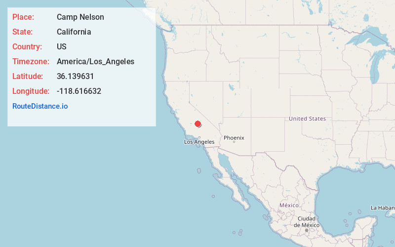
Full AddressCamp Nelson, CA 93265
-
Coordinates36.1396307, -118.6166318
-
LocationCamp Nelson , California , US
-
TimezoneAmerica/Los_Angeles
-
Current Local Time5:34:12 AM America/Los_AngelesFriday, June 6, 2025
-
Page Views0
About Camp Nelson
Camp Nelson is a census-designated place in Tulare County, California. Camp Nelson is 12 miles east of Springville. Camp Nelson has a post office with ZIP code 93208. The population was 109 at the 2020 census, up from 97 at the 2010 census.


Nearby Places
Found 10 places within 50 miles

Pierpoint
0.7 mi
1.1 km
Pierpoint, CA 93265
Get directions

Sequoia Crest
3.5 mi
5.6 km
Sequoia Crest, CA 93265
Get directions

Springville
11.3 mi
18.2 km
Springville, CA 93265
Get directions

East Porterville
20.8 mi
33.5 km
East Porterville, CA 93257
Get directions

Porterville
22.9 mi
36.9 km
Porterville, CA 93257
Get directions

Strathmore
24.8 mi
39.9 km
Strathmore, CA 93267
Get directions

Three Rivers
26.2 mi
42.2 km
Three Rivers, CA 93271
Get directions

Lindsay
26.7 mi
43.0 km
Lindsay, CA 93247
Get directions

Terra Bella
26.8 mi
43.1 km
Terra Bella, CA 93270
Get directions

Tonyville
27.5 mi
44.3 km
Tonyville, CA 93247
Get directions
Location Links
Local Weather
Weather Information
Coming soon!
Location Map
Static map view of Camp Nelson, California
Browse Places by Distance
Places within specific distances from Camp Nelson
Short Distances
Long Distances
Click any distance to see all places within that range from Camp Nelson. Distances shown in miles (1 mile ≈ 1.61 kilometers).