Distance to Camp Neyati, Massachusetts

Calculating Your Route
Just a moment while we process your request...
Location Information
-
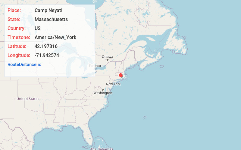
Full AddressCamp Neyati, Spencer, MA 01562
-
Coordinates42.1973156, -71.9425737
-
LocationSpencer , Massachusetts , US
-
TimezoneAmerica/New_York
-
Current Local Time9:58:02 PM America/New_YorkThursday, June 26, 2025
-
Page Views0
Nearby Places
Found 10 places within 50 miles

Camp Bement
1.6 mi
2.6 km
Camp Bement, Charlton, MA 01507
Get directions
Cominsville
2.5 mi
4.0 km
Cominsville, Oxford, MA 01537
Get directions
Texas
3.4 mi
5.5 km
Texas, Oxford, MA 01537
Get directions

Leicester
3.8 mi
6.1 km
Leicester, MA
Get directions
Camp Barton
3.8 mi
6.1 km
Camp Barton, Oxford, MA 01537
Get directions
West Auburn
3.9 mi
6.3 km
West Auburn, Auburn, MA 01501
Get directions

Spencer
4.2 mi
6.8 km
Spencer, MA
Get directions

Charlton
4.5 mi
7.2 km
Charlton, MA 01507
Get directions
Lower Wire Village
5.3 mi
8.5 km
Lower Wire Village, Spencer, MA 01562
Get directions
Upper Wire Village
5.5 mi
8.9 km
Upper Wire Village, Spencer, MA 01562
Get directions
Location Links
Local Weather
Weather Information
Coming soon!
Location Map
Static map view of Camp Neyati, Massachusetts
Browse Places by Distance
Places within specific distances from Camp Neyati
Short Distances
Long Distances
Click any distance to see all places within that range from Camp Neyati. Distances shown in miles (1 mile ≈ 1.61 kilometers).