Distance to Camp Stevenson, Massachusetts

Calculating Your Route
Just a moment while we process your request...
Location Information
-
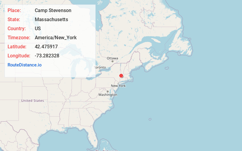
Full AddressCamp Stevenson, Pittsfield, MA 01201
-
Coordinates42.4759172, -73.2823277
-
LocationPittsfield , Massachusetts , US
-
TimezoneAmerica/New_York
-
Current Local Time12:39:27 AM America/New_YorkSunday, June 22, 2025
-
Page Views0
Nearby Places
Found 10 places within 50 miles

Camp Merrill
2.1 mi
3.4 km
Camp Merrill, Pittsfield, MA 01201
Get directions
Camp Sumner
2.2 mi
3.5 km
Camp Sumner, Pittsfield, MA 01201
Get directions

Pittsfield
2.6 mi
4.2 km
Pittsfield, MA 01201
Get directions
Lanesborough
4.0 mi
6.4 km
Lanesborough, MA
Get directions

Hancock Shaker Village
4.1 mi
6.6 km
Hancock Shaker Village, Hancock, MA 01201
Get directions
Camp Marion White
4.5 mi
7.2 km
Camp Marion White, Pittsfield, MA 01201
Get directions
Camp Russell
4.9 mi
7.9 km
Camp Russell, Richmond, MA 01201
Get directions

Hancock
5.1 mi
8.2 km
Hancock, MA
Get directions
Camp Mohawk
5.8 mi
9.3 km
Camp Mohawk, Lanesborough, MA 01237
Get directions

New Lebanon
5.9 mi
9.5 km
New Lebanon, NY 12125
Get directions
Location Links
Local Weather
Weather Information
Coming soon!
Location Map
Static map view of Camp Stevenson, Massachusetts
Browse Places by Distance
Places within specific distances from Camp Stevenson
Short Distances
Long Distances
Click any distance to see all places within that range from Camp Stevenson. Distances shown in miles (1 mile ≈ 1.61 kilometers).