Distance to Camp Woronoak, Massachusetts

Calculating Your Route
Just a moment while we process your request...
Location Information
-
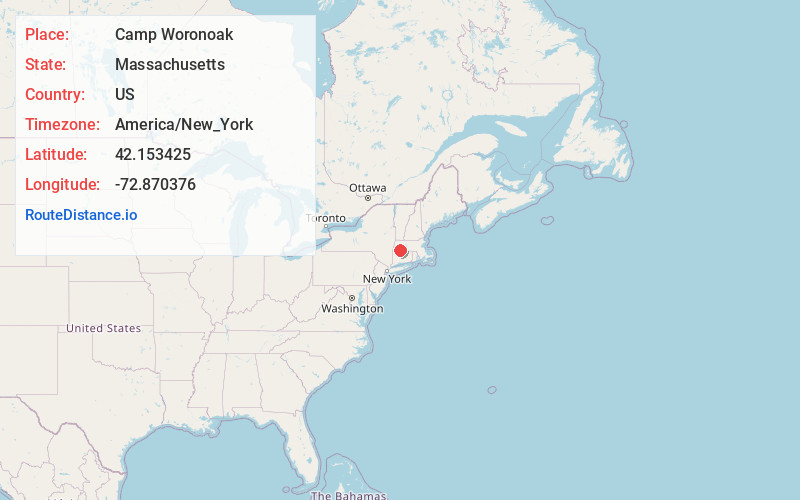
Full AddressCamp Woronoak, Russell, MA 01071
-
Coordinates42.1534249, -72.8703759
-
LocationRussell , Massachusetts , US
-
TimezoneAmerica/New_York
-
Current Local Time10:11:42 PM America/New_YorkThursday, June 19, 2025
-
Page Views0
Nearby Places
Found 10 places within 50 miles

South Quarter
0.9 mi
1.4 km
South Quarter, Russell, MA 01071
Get directions

Russell
2.6 mi
4.2 km
Russell, MA
Get directions

Blandford
3.5 mi
5.6 km
Blandford, MA
Get directions

Granville
4.6 mi
7.4 km
Granville, MA
Get directions
Montgomery
5.0 mi
8.0 km
Montgomery, MA
Get directions
West Farms
5.3 mi
8.5 km
West Farms, Westfield, MA 01085
Get directions

Huntington
5.6 mi
9.0 km
Huntington, MA 01050
Get directions
Russellville
6.2 mi
10.0 km
Russellville, Southampton, MA 01073
Get directions

Westfield
6.5 mi
10.5 km
Westfield, MA 01085
Get directions
North Blandford
6.9 mi
11.1 km
North Blandford, Blandford, MA 01008
Get directions
Location Links
Local Weather
Weather Information
Coming soon!
Location Map
Static map view of Camp Woronoak, Massachusetts
Browse Places by Distance
Places within specific distances from Camp Woronoak
Short Distances
Long Distances
Click any distance to see all places within that range from Camp Woronoak. Distances shown in miles (1 mile ≈ 1.61 kilometers).