Distance to and from Campbell, Ohio
Campbell, OH
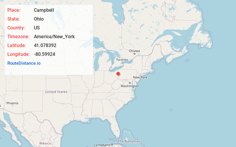
Campbell
Ohio
US
America/New_York
Location Information
-
Full AddressCampbell, OH
-
Coordinates41.0783918, -80.5992396
-
LocationCampbell , Ohio , US
-
TimezoneAmerica/New_York
-
Current Local Time7:46:19 AM America/New_YorkTuesday, May 6, 2025
-
Website
-
Page Views0
Directions to Nearest Cities
About Campbell
Campbell is a city in eastern Mahoning County, Ohio, United States, along the Mahoning River. The population was 7,852 at the 2020 census. Located directly southeast of Youngstown, it is a suburb in the Youngstown–Warren metropolitan area.


Nearby Places
Found 10 places within 50 miles

Struthers
1.8 mi
2.9 km
Struthers, OH
Get directions

Youngstown
3.1 mi
5.0 km
Youngstown, OH
Get directions

Hubbard
5.6 mi
9.0 km
Hubbard, OH 44425
Get directions

Girard
7.5 mi
12.1 km
Girard, OH
Get directions

Austintown
8.8 mi
14.2 km
Austintown, OH
Get directions

Niles
11.3 mi
18.2 km
Niles, OH
Get directions

Sharon
12.0 mi
19.3 km
Sharon, PA
Get directions

Hermitage
13.3 mi
21.4 km
Hermitage, PA
Get directions

Neshannock Township
13.4 mi
21.6 km
Neshannock Township, PA 16105
Get directions

New Castle
14.1 mi
22.7 km
New Castle, PA
Get directions
Struthers
1.8 mi
2.9 km
Struthers, OH
Youngstown
3.1 mi
5.0 km
Youngstown, OH
Hubbard
5.6 mi
9.0 km
Hubbard, OH 44425
Girard
7.5 mi
12.1 km
Girard, OH
Austintown
8.8 mi
14.2 km
Austintown, OH
Niles
11.3 mi
18.2 km
Niles, OH
Sharon
12.0 mi
19.3 km
Sharon, PA
Hermitage
13.3 mi
21.4 km
Hermitage, PA
Neshannock Township
13.4 mi
21.6 km
Neshannock Township, PA 16105
New Castle
14.1 mi
22.7 km
New Castle, PA
Location Links
Local Weather
Weather Information
Coming soon!
Location Map
Static map view of Campbell, Ohio
Browse Places by Distance
Places within specific distances from Campbell
Short Distances
Long Distances
Click any distance to see all places within that range from Campbell. Distances shown in miles (1 mile ≈ 1.61 kilometers).