Distance to Campbelltown, Pennsylvania

Calculating Your Route
Just a moment while we process your request...
Location Information
-
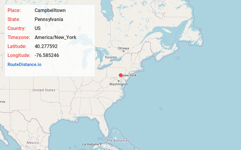
Full AddressCampbelltown, PA 17078
-
Coordinates40.2775915, -76.5852462
-
LocationCampbelltown , Pennsylvania , US
-
TimezoneAmerica/New_York
-
Current Local Time2:22:00 PM America/New_YorkTuesday, June 24, 2025
-
Page Views0
About Campbelltown
Campbelltown is an unincorporated community and census-designated place in Lebanon County, Pennsylvania, United States. The population was 3,616 at the 2010 census. It is located east of Hershey at the intersection of U.S. Route 322 and Pennsylvania Route 117 and is located in the Harrisburg metropolitan area.
Nearby Places
Found 10 places within 50 miles

Palmyra
2.2 mi
3.5 km
Palmyra, PA 17078
Get directions

Hershey
3.5 mi
5.6 km
Hershey, PA
Get directions

South Londonderry Township
3.6 mi
5.8 km
South Londonderry Township, PA
Get directions

North Londonderry Township
3.8 mi
6.1 km
North Londonderry Township, PA
Get directions
South Hanover Township
6.2 mi
10.0 km
South Hanover Township, PA
Get directions
North Cornwall Township
7.7 mi
12.4 km
North Cornwall Township, PA 17042
Get directions

Rapho Township
8.6 mi
13.8 km
Rapho Township, PA
Get directions

Elizabethtown
8.7 mi
14.0 km
Elizabethtown, PA 17022
Get directions

Middletown
9.4 mi
15.1 km
Middletown, PA 17057
Get directions

Lebanon
9.4 mi
15.1 km
Lebanon, PA
Get directions
Location Links
Local Weather
Weather Information
Coming soon!
Location Map
Static map view of Campbelltown, Pennsylvania
Browse Places by Distance
Places within specific distances from Campbelltown
Short Distances
Long Distances
Click any distance to see all places within that range from Campbelltown. Distances shown in miles (1 mile ≈ 1.61 kilometers).