Distance to Campo, Colorado

Calculating Your Route
Just a moment while we process your request...
Location Information
-
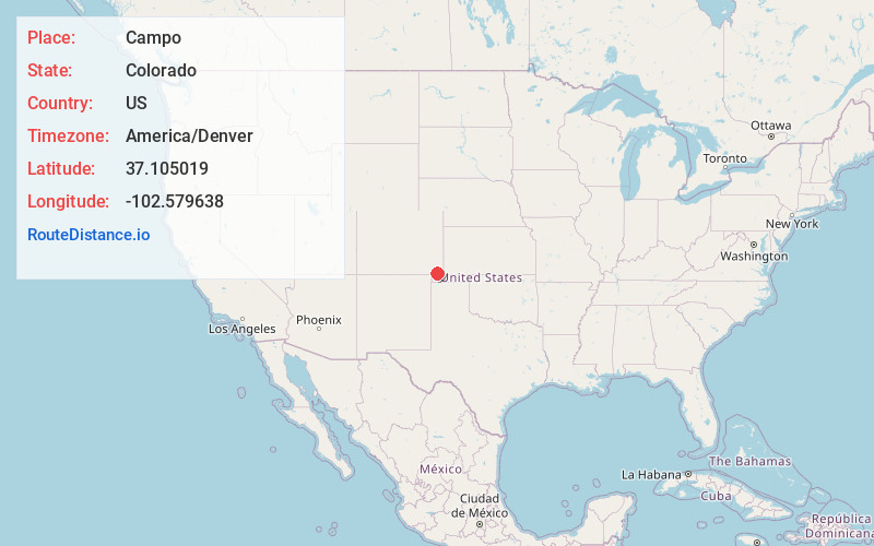
Full AddressCampo, CO 81029
-
Coordinates37.105019, -102.5796377
-
LocationCampo , Colorado , US
-
TimezoneAmerica/Denver
-
Current Local Time7:01:33 PM America/DenverThursday, June 12, 2025
-
Page Views0
About Campo
Campo is a statutory town located in Baca County, Colorado, United States. The town population was 103 at the 2020 United States census. The town is situated on the High Plains, straddling U.S. Route 287/385.

Nearby Places
Found 8 places within 50 miles

Vilas
20.0 mi
32.2 km
Vilas, CO 81087
Get directions

Springfield
21.0 mi
33.8 km
Springfield, CO 81073
Get directions

Pritchett
23.9 mi
38.5 km
Pritchett, CO
Get directions

Walsh
25.5 mi
41.0 km
Walsh, CO 81090
Get directions

Boise City
26.2 mi
42.2 km
Boise City, OK 73933
Get directions
Keyes
27.1 mi
43.6 km
Keyes, OK 73947
Get directions

Elkhart
38.6 mi
62.1 km
Elkhart, KS 67950
Get directions
Manter
47.9 mi
77.1 km
Manter, KS 67862
Get directions
Location Links
Local Weather
Weather Information
Coming soon!
Location Map
Static map view of Campo, Colorado
Browse Places by Distance
Places within specific distances from Campo
Short Distances
Long Distances
Click any distance to see all places within that range from Campo. Distances shown in miles (1 mile ≈ 1.61 kilometers).