Distance to Campton, Kentucky

Calculating Your Route
Just a moment while we process your request...
Location Information
-
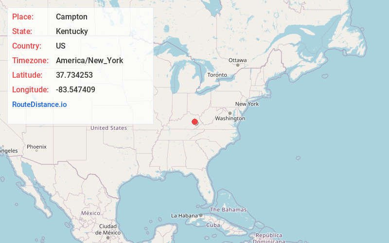
Full AddressCampton, KY 41301
-
Coordinates37.7342526, -83.547409
-
LocationCampton , Kentucky , US
-
TimezoneAmerica/New_York
-
Current Local Time9:31:08 PM America/New_YorkMonday, June 9, 2025
-
Page Views0
About Campton
Campton is a home rule-class city in and the county seat of Wolfe County, Kentucky, United States. The population was 441 at the 2010 census.


Nearby Places
Found 10 places within 50 miles

Ezel
12.3 mi
19.8 km
Ezel, KY 41425
Get directions
Wellington
12.6 mi
20.3 km
Wellington, KY
Get directions

Beattyville
14.2 mi
22.9 km
Beattyville, KY 41311
Get directions

Jackson
15.4 mi
24.8 km
Jackson, KY 41339
Get directions

Frenchburg
15.6 mi
25.1 km
Frenchburg, KY
Get directions

Stanton
18.6 mi
29.9 km
Stanton, KY 40380
Get directions

West Liberty
20.3 mi
32.7 km
West Liberty, KY 41472
Get directions

Clay City
22.0 mi
35.4 km
Clay City, KY 40312
Get directions

Ravenna
22.4 mi
36.0 km
Ravenna, KY 40472
Get directions

Jeffersonville
23.1 mi
37.2 km
Jeffersonville, KY 40337
Get directions
Location Links
Local Weather
Weather Information
Coming soon!
Location Map
Static map view of Campton, Kentucky
Browse Places by Distance
Places within specific distances from Campton
Short Distances
Long Distances
Click any distance to see all places within that range from Campton. Distances shown in miles (1 mile ≈ 1.61 kilometers).