Distance to Camptown, Pennsylvania

Calculating Your Route
Just a moment while we process your request...
Location Information
-
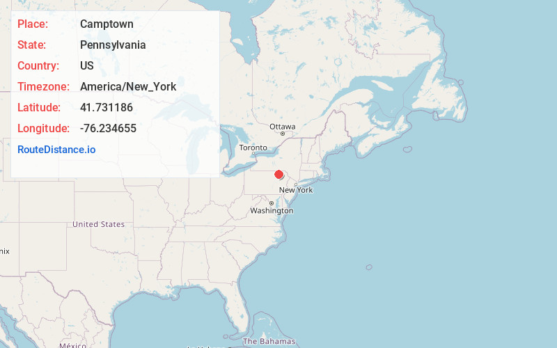
Full AddressCamptown, PA 18853
-
Coordinates41.7311864, -76.234655
-
LocationCamptown , Pennsylvania , US
-
TimezoneAmerica/New_York
-
Current Local Time4:20:29 AM America/New_YorkWednesday, June 25, 2025
-
Page Views0
About Camptown
Camptown is an unincorporated community in Bradford County, Pennsylvania, United States. The community is located at the intersection of Pennsylvania Route 409 and Pennsylvania Route 706 4.6 miles north-northeast of Wyalusing. Camptown has a post office with ZIP code 18815.
Nearby Places
Found 10 places within 50 miles

Merryall
2.3 mi
3.7 km
Merryall, Wyalusing Township, PA 18853
Get directions
Limehill
2.6 mi
4.2 km
Limehill, Wyalusing Township, PA 18853
Get directions
Herrick Township
3.5 mi
5.6 km
Herrick Township, PA
Get directions

Wyalusing
4.6 mi
7.4 km
Wyalusing, PA 18853
Get directions
Homets Ferry
5.1 mi
8.2 km
Homets Ferry, Wyalusing Township, PA 18853
Get directions
Viall Hill
5.3 mi
8.5 km
Viall Hill, Terry Township, PA 18853
Get directions
Standing Stone
6.6 mi
10.6 km
Standing Stone, PA 18854
Get directions
West Auburn
6.7 mi
10.8 km
West Auburn, Auburn Township, PA 18623
Get directions
Durell
6.9 mi
11.1 km
Durell, Asylum Township, PA 18848
Get directions
Rocky Forest
7.0 mi
11.3 km
Rocky Forest, Braintrim Township, PA 18623
Get directions
Location Links
Local Weather
Weather Information
Coming soon!
Location Map
Static map view of Camptown, Pennsylvania
Browse Places by Distance
Places within specific distances from Camptown
Short Distances
Long Distances
Click any distance to see all places within that range from Camptown. Distances shown in miles (1 mile ≈ 1.61 kilometers).