Distance to Canandaigua, Michigan

Calculating Your Route
Just a moment while we process your request...
Location Information
-
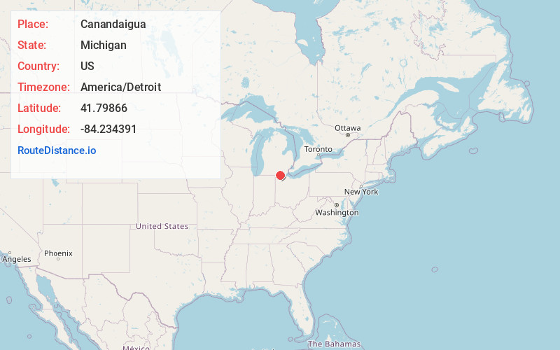
Full AddressCanandaigua, Medina Township, MI 49247
-
Coordinates41.7986603, -84.2343907
-
LocationMedina Township , Michigan , US
-
TimezoneAmerica/Detroit
-
Current Local Time1:36:15 PM America/DetroitSunday, June 15, 2025
-
Page Views0
About Canandaigua
Canandaigua is an unincorporated community in Lenawee County in the U.S. state of Michigan. The community is located along M-156 within Medina Township to the west and Seneca Township to the east. As an unincorporated community, Canandaigua has no legally defined boundaries or population statistics of its own.
Nearby Places
Found 10 places within 50 miles

Seneca
3.1 mi
5.0 km
Seneca, MI 49256
Get directions
Clayton
4.5 mi
7.2 km
Clayton, MI 49235
Get directions

Morenci
5.5 mi
8.9 km
Morenci, MI 49256
Get directions
Cadmus
6.4 mi
10.3 km
Cadmus, MI 49235
Get directions

Hudson
7.3 mi
11.7 km
Hudson, MI 49247
Get directions
Powers
8.4 mi
13.5 km
Powers, Gorham Township, OH 43521
Get directions
Prattville
8.6 mi
13.8 km
Prattville, MI 49247
Get directions

Fairfield Township
8.7 mi
14.0 km
Fairfield Township, MI
Get directions

Fayette
9.9 mi
15.9 km
Fayette, OH 43521
Get directions
Rome Center
10.3 mi
16.6 km
Rome Center, Rome Township, MI 49221
Get directions
Location Links
Local Weather
Weather Information
Coming soon!
Location Map
Static map view of Canandaigua, Michigan
Browse Places by Distance
Places within specific distances from Canandaigua
Short Distances
Long Distances
Click any distance to see all places within that range from Canandaigua. Distances shown in miles (1 mile ≈ 1.61 kilometers).