Distance to Caneadea, New York

Calculating Your Route
Just a moment while we process your request...
Location Information
-
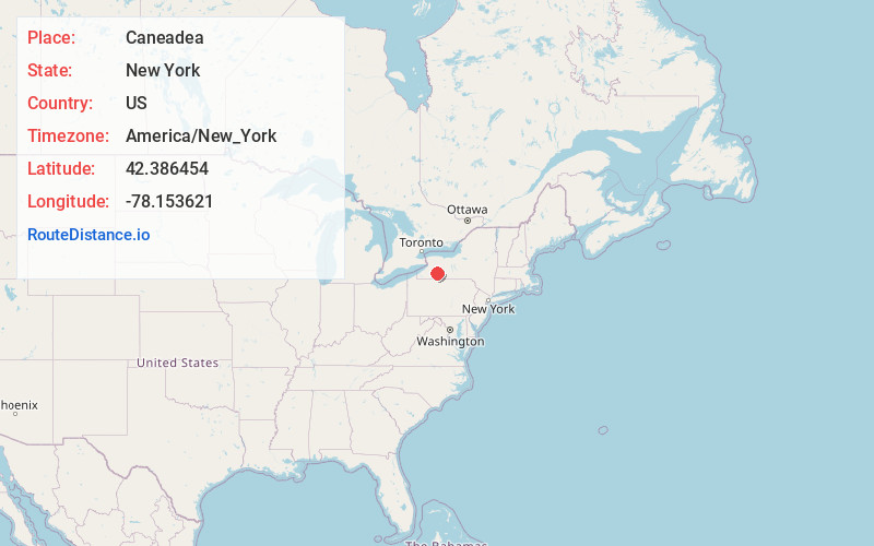
Full AddressCaneadea, NY 14717
-
Coordinates42.3864542, -78.1536209
-
LocationCaneadea , New York , US
-
TimezoneAmerica/New_York
-
Current Local Time2:26:51 PM America/New_YorkTuesday, July 1, 2025
-
Page Views0
About Caneadea
Caneadea is a town in Allegany County, New York, United States. It includes the hamlets Caneadea, Houghton, and Oramel.
Nearby Places
Found 10 places within 50 miles

Freedom
11.3 mi
18.2 km
Freedom, NY 14009
Get directions

Franklinville
15.9 mi
25.6 km
Franklinville, NY 14737
Get directions

Castile
17.5 mi
28.2 km
Castile, NY 14427
Get directions

Yorkshire
19.1 mi
30.7 km
Yorkshire, NY
Get directions

Sardinia
21.0 mi
33.8 km
Sardinia, NY 14030
Get directions

Wellsville
21.1 mi
34.0 km
Wellsville, NY 14895
Get directions
Hornellsville
23.0 mi
37.0 km
Hornellsville, NY
Get directions

Hornell
25.5 mi
41.0 km
Hornell, NY 14843
Get directions

Portville
25.9 mi
41.7 km
Portville, NY 14770
Get directions

Dansville
26.2 mi
42.2 km
Dansville, NY 14437
Get directions
Location Links
Local Weather
Weather Information
Coming soon!
Location Map
Static map view of Caneadea, New York
Browse Places by Distance
Places within specific distances from Caneadea
Short Distances
Long Distances
Click any distance to see all places within that range from Caneadea. Distances shown in miles (1 mile ≈ 1.61 kilometers).