Distance to Cannady, Virginia

Calculating Your Route
Just a moment while we process your request...
Location Information
-
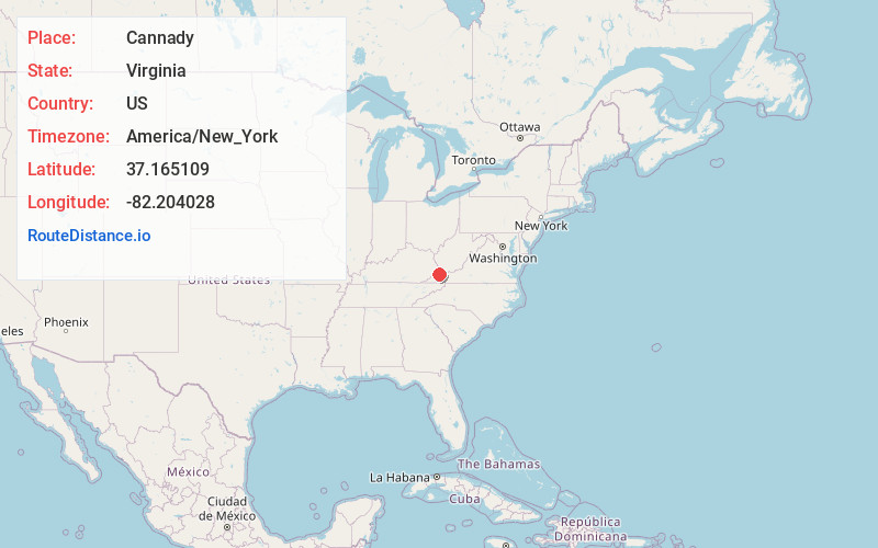
Full AddressCannady, VA 24656
-
Coordinates37.1651093, -82.2040277
-
LocationVirginia , US
-
TimezoneAmerica/New_York
-
Current Local Time3:32:18 AM America/New_YorkTuesday, June 3, 2025
-
Page Views0
Nearby Places
Found 10 places within 50 miles

Viers
1.8 mi
2.9 km
Viers, VA 24220
Get directions
Colley
2.4 mi
3.9 km
Colley, VA 24220
Get directions
Murphy
3.2 mi
5.1 km
Murphy, VA 24656
Get directions
Vicey
3.3 mi
5.3 km
Vicey, VA 24256
Get directions
Bee
3.9 mi
6.3 km
Bee, VA 24217
Get directions
Nancy
4.7 mi
7.6 km
Nancy, VA 24220
Get directions

Haysi
5.7 mi
9.2 km
Haysi, VA
Get directions
Duty
6.5 mi
10.5 km
Duty, VA 24239
Get directions
Bucu
6.7 mi
10.8 km
Bucu, VA 24217
Get directions
Aily
7.0 mi
11.3 km
Aily, VA 24226
Get directions
Location Links
Local Weather
Weather Information
Coming soon!
Location Map
Static map view of Cannady, Virginia
Browse Places by Distance
Places within specific distances from Cannady
Short Distances
Long Distances
Click any distance to see all places within that range from Cannady. Distances shown in miles (1 mile ≈ 1.61 kilometers).