Distance to Canton Bend, Alabama

Calculating Your Route
Just a moment while we process your request...
Location Information
-
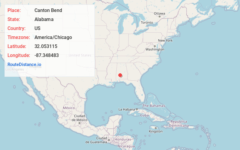
Full AddressCanton Bend, AL 36726
-
Coordinates32.0531154, -87.348483
-
LocationCanton Bend , Alabama , US
-
TimezoneAmerica/Chicago
-
Current Local Time8:02:12 AM America/ChicagoSaturday, June 21, 2025
-
Page Views0
About Canton Bend
Canton Bend, once known simply as Canton, is an unincorporated community in Wilcox County, Alabama, United States. Located on the south bank of the Alabama River, it served as the first county seat for Wilcox County from 1819 until its move to Camden in 1833.
Nearby Places
Found 10 places within 50 miles

Millers Ferry
3.4 mi
5.5 km
Millers Ferry, AL 36726
Get directions
Rockwest
3.9 mi
6.3 km
Rockwest, AL 36726
Get directions

Boykin
4.3 mi
6.9 km
Boykin, AL
Get directions

Camden
5.5 mi
8.9 km
Camden, AL 36726
Get directions
Prairie Bluff
6.5 mi
10.5 km
Prairie Bluff, AL 36720
Get directions
Ellis
8.8 mi
14.2 km
Ellis, AL 36761
Get directions
Prairie
8.8 mi
14.2 km
Prairie, AL 36728
Get directions
Coal Bluff
9.1 mi
14.6 km
Coal Bluff, AL 36769
Get directions
Shawnee
9.3 mi
15.0 km
Shawnee, AL 36726
Get directions
Yellow Bluff
9.9 mi
15.9 km
Yellow Bluff, AL 36769
Get directions
Location Links
Local Weather
Weather Information
Coming soon!
Location Map
Static map view of Canton Bend, Alabama
Browse Places by Distance
Places within specific distances from Canton Bend
Short Distances
Long Distances
Click any distance to see all places within that range from Canton Bend. Distances shown in miles (1 mile ≈ 1.61 kilometers).