Distance to Canutillo, Texas

Calculating Your Route
Just a moment while we process your request...
Location Information
-
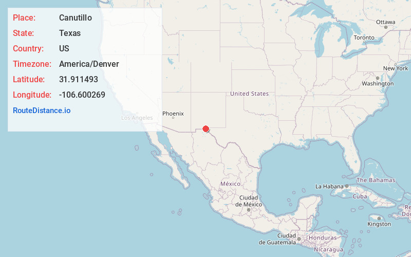
Full AddressCanutillo, TX
-
Coordinates31.9114925, -106.6002687
-
LocationCanutillo , Texas , US
-
TimezoneAmerica/Denver
-
Current Local Time8:12:52 PM America/DenverFriday, June 27, 2025
-
Page Views0
About Canutillo
Canutillo is a census-designated place in El Paso County, Texas, United States. The population was 6,321 at the 2010 census. It is part of the El Paso Metropolitan Statistical Area. The ZIP Codes encompassing the CDP area are 79835 and 79932.

Nearby Places
Found 10 places within 50 miles

Anthony
6.4 mi
10.3 km
Anthony, NM 88021
Get directions

Sunland Park
8.0 mi
12.9 km
Sunland Park, NM
Get directions

El Paso
12.4 mi
20.0 km
El Paso, TX
Get directions

Fort Bliss
12.5 mi
20.1 km
Fort Bliss, TX
Get directions

Chaparral
13.9 mi
22.4 km
Chaparral, NM 88081
Get directions

Socorro
24.9 mi
40.1 km
Socorro, TX
Get directions

Homestead Meadows South
26.4 mi
42.5 km
Homestead Meadows South, TX 79938
Get directions

Horizon City
27.6 mi
44.4 km
Horizon City, TX 79928
Get directions

San Elizario
29.6 mi
47.6 km
San Elizario, TX
Get directions

Las Cruces
29.7 mi
47.8 km
Las Cruces, NM
Get directions
Location Links
Local Weather
Weather Information
Coming soon!
Location Map
Static map view of Canutillo, Texas
Browse Places by Distance
Places within specific distances from Canutillo
Short Distances
Long Distances
Click any distance to see all places within that range from Canutillo. Distances shown in miles (1 mile ≈ 1.61 kilometers).