Distance to Canyon Falls, Kentucky

Calculating Your Route
Just a moment while we process your request...
Location Information
-
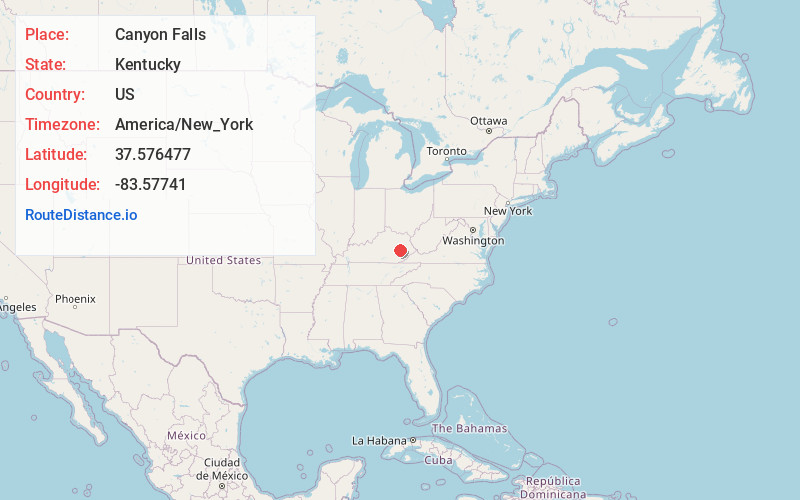
Full AddressCanyon Falls, KY 41311
-
Coordinates37.5764765, -83.5774097
-
LocationKentucky , US
-
TimezoneAmerica/New_York
-
Current Local Time7:35:47 PM America/New_YorkSunday, June 1, 2025
-
Page Views0
About Canyon Falls
Canyon Falls is an unincorporated community in Lee County, Kentucky, United States.
A post office was established in 1909 at Canyon Falls. The community was named for a local canyon and waterfall; the latter was destroyed with dynamite for the construction of a road.
Nearby Places
Found 10 places within 50 miles

Lone
3.5 mi
5.6 km
Lone, KY 41311
Get directions
Oakdale
3.6 mi
5.8 km
Oakdale, KY 41339
Get directions
Jetts Creek
5.5 mi
8.9 km
Jetts Creek, KY 41314
Get directions
Hurst
5.8 mi
9.3 km
Hurst, KY 41339
Get directions
Chenowee
5.8 mi
9.3 km
Chenowee, KY 41339
Get directions
Stay
6.1 mi
9.8 km
Stay, KY 41311
Get directions
Pence
6.9 mi
11.1 km
Pence, KY 41301
Get directions

Beattyville
7.1 mi
11.4 km
Beattyville, KY 41311
Get directions
Grannie
8.3 mi
13.4 km
Grannie, KY 41301
Get directions

Booneville
8.7 mi
14.0 km
Booneville, KY
Get directions
Location Links
Local Weather
Weather Information
Coming soon!
Location Map
Static map view of Canyon Falls, Kentucky
Browse Places by Distance
Places within specific distances from Canyon Falls
Short Distances
Long Distances
Click any distance to see all places within that range from Canyon Falls. Distances shown in miles (1 mile ≈ 1.61 kilometers).