Distance to Cap Au Gris, Missouri

Calculating Your Route
Just a moment while we process your request...
Location Information
-
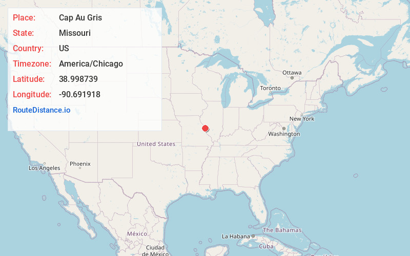
Full AddressCap Au Gris, MO 63389
-
Coordinates38.9987389, -90.6919183
-
LocationCap Au Gris , Missouri , US
-
TimezoneAmerica/Chicago
-
Current Local Time10:46:30 PM America/ChicagoThursday, June 12, 2025
-
Page Views0
About Cap Au Gris
Fort Cap au Gris, also called Capo Gray, was a temporary fort built in September 1814 near Troy, Missouri during the War of 1812 by Missouri Rangers under the direction of Nathan Boone, son of Daniel Boone, the famous American pioneer and frontiersman.
Nearby Places
Found 10 places within 50 miles

Winfield
2.5 mi
4.0 km
Winfield, MO 63389
Get directions

Batchtown
3.0 mi
4.8 km
Batchtown, IL 62006
Get directions
Beechville
3.0 mi
4.8 km
Beechville, IL 62006
Get directions
Parkers Park
3.5 mi
5.6 km
Parkers Park, Burr Oak Township, MO 63347
Get directions
Parkers Landing
4.2 mi
6.8 km
Parkers Landing, Burr Oak Township, MO 63347
Get directions
Foley
4.3 mi
6.9 km
Foley, MO
Get directions
Meppen
4.7 mi
7.6 km
Meppen, IL 62031
Get directions

Old Monroe
5.5 mi
8.9 km
Old Monroe, MO
Get directions
Kings Lake
5.6 mi
9.0 km
Kings Lake, Burr Oak Township, MO 63347
Get directions
Conrad
6.5 mi
10.5 km
Conrad, Point Precinct, IL 62036
Get directions
Location Links
Local Weather
Weather Information
Coming soon!
Location Map
Static map view of Cap Au Gris, Missouri
Browse Places by Distance
Places within specific distances from Cap Au Gris
Short Distances
Long Distances
Click any distance to see all places within that range from Cap Au Gris. Distances shown in miles (1 mile ≈ 1.61 kilometers).