Distance to Cape Colony, North Carolina

Calculating Your Route
Just a moment while we process your request...
Location Information
-
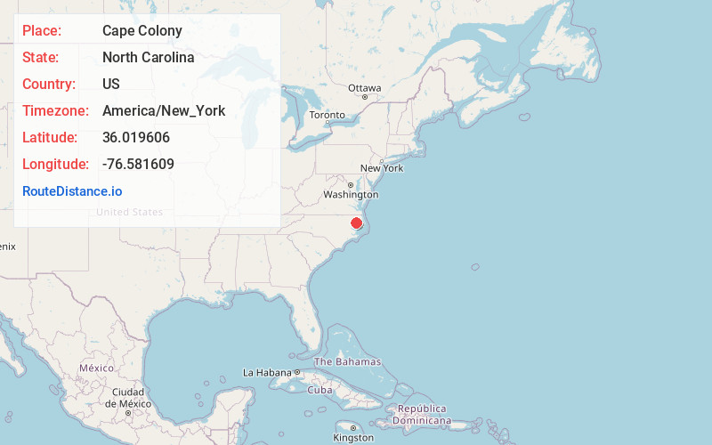
Full AddressCape Colony, NC 27932
-
Coordinates36.0196055, -76.5816089
-
LocationCape Colony , North Carolina , US
-
TimezoneAmerica/New_York
-
Current Local Time12:12:47 AM America/New_YorkWednesday, June 18, 2025
-
Page Views1
About Cape Colony
Cape Colony is an unincorporated community and census-designated place in Chowan County, North Carolina, United States. It was first listed as a CDP in the 2020 census with a population of 691.
The community is in southern Chowan County, on the northeast bank of the tidal Chowan River.
Nearby Places
Found 10 places within 50 miles

Edenton
3.0 mi
4.8 km
Edenton, NC 27932
Get directions

Roper
10.0 mi
16.1 km
Roper, NC 27970
Get directions

Hertford
13.4 mi
21.6 km
Hertford, NC 27944
Get directions

Plymouth
14.1 mi
22.7 km
Plymouth, NC
Get directions

Winfall
15.3 mi
24.6 km
Winfall, NC 27944
Get directions

Columbia
19.7 mi
31.7 km
Columbia, NC 27925
Get directions

Windsor
20.4 mi
32.8 km
Windsor, NC 27983
Get directions

Williamston
28.9 mi
46.5 km
Williamston, NC 27892
Get directions

Ahoskie
29.1 mi
46.8 km
Ahoskie, NC 27910
Get directions

Camden
31.3 mi
50.4 km
Camden, NC 27921
Get directions
Location Links
Local Weather
Weather Information
Coming soon!
Location Map
Static map view of Cape Colony, North Carolina
Browse Places by Distance
Places within specific distances from Cape Colony
Short Distances
Long Distances
Click any distance to see all places within that range from Cape Colony. Distances shown in miles (1 mile ≈ 1.61 kilometers).