Distance to Cape Haze, Florida

Calculating Your Route
Just a moment while we process your request...
Location Information
-
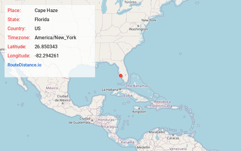
Full AddressCape Haze, FL 33946
-
Coordinates26.8503433, -82.2942613
-
LocationCape Haze , Florida , US
-
TimezoneAmerica/New_York
-
Current Local Time7:10:45 PM America/New_YorkTuesday, June 17, 2025
-
Page Views0
Nearby Places
Found 10 places within 50 miles

Rotonda West
2.3 mi
3.7 km
Rotonda West, FL
Get directions

Grove City
4.9 mi
7.9 km
Grove City, FL 34224
Get directions

Manasota Key
6.6 mi
10.6 km
Manasota Key, FL 34223
Get directions

Gasparilla Island
7.1 mi
11.4 km
Gasparilla Island, Florida
Get directions

Boca Grande
7.3 mi
11.7 km
Boca Grande, FL 33921
Get directions

Englewood
7.9 mi
12.7 km
Englewood, FL
Get directions
Port Boca Grande
9.2 mi
14.8 km
Port Boca Grande, FL 33921
Get directions
Tarpon Point
11.9 mi
19.2 km
Tarpon Point, FL 34293
Get directions

Bokeelia
13.0 mi
20.9 km
Bokeelia, FL 33922
Get directions

Manasota Beach
13.3 mi
21.4 km
Manasota Beach, FL 34223
Get directions
Location Links
Local Weather
Weather Information
Coming soon!
Location Map
Static map view of Cape Haze, Florida
Browse Places by Distance
Places within specific distances from Cape Haze
Short Distances
Long Distances
Click any distance to see all places within that range from Cape Haze. Distances shown in miles (1 mile ≈ 1.61 kilometers).