Distance to Cape Lookout, North Carolina

Calculating Your Route
Just a moment while we process your request...
Location Information
-
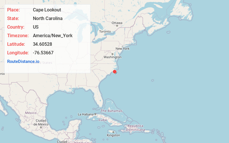
Full AddressCape Lookout, NC 28531
-
Coordinates34.60528, -76.53667
-
LocationCape Lookout , North Carolina , US
-
TimezoneAmerica/New_York
-
Current Local Time6:59:13 PM America/New_YorkTuesday, June 17, 2025
-
Page Views0
About Cape Lookout
Cape Lookout is the southern point of the Core Banks, one of the natural barrier islands on the Atlantic coast of North Carolina. It delimits Onslow Bay to the west from Raleigh Bay to the east. Core Banks and Shackleford Banks have been designated as parts of the Cape Lookout National Seashore.


Nearby Places
Found 10 places within 50 miles

Harkers Island
6.3 mi
10.1 km
Harkers Island, NC 28531
Get directions

Gloucester
8.4 mi
13.5 km
Gloucester, NC 28528
Get directions
Lenoxville Point
8.4 mi
13.5 km
Lenoxville Point, Beaufort, NC 28516
Get directions

Marshallberg
8.6 mi
13.8 km
Marshallberg, NC 28553
Get directions
Tusk
9.7 mi
15.6 km
Tusk, NC 28579
Get directions
Steep Pines Fork
10.4 mi
16.7 km
Steep Pines Fork, Beaufort, NC 28516
Get directions

Beaufort
10.6 mi
17.1 km
Beaufort, NC
Get directions

Otway
11.8 mi
19.0 km
Otway, NC 28516
Get directions

Atlantic Beach
13.3 mi
21.4 km
Atlantic Beach, NC 28512
Get directions
Bettie
13.3 mi
21.4 km
Bettie, NC 28516
Get directions
Location Links
Local Weather
Weather Information
Coming soon!
Location Map
Static map view of Cape Lookout, North Carolina
Browse Places by Distance
Places within specific distances from Cape Lookout
Short Distances
Long Distances
Click any distance to see all places within that range from Cape Lookout. Distances shown in miles (1 mile ≈ 1.61 kilometers).