Distance to Capitol View, South Carolina

Calculating Your Route
Just a moment while we process your request...
Location Information
-
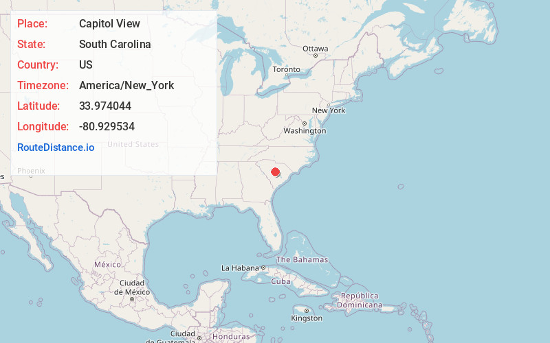
Full AddressCapitol View, SC 29209
-
Coordinates33.9740441, -80.9295344
-
LocationCapitol View , South Carolina , US
-
TimezoneAmerica/New_York
-
Current Local Time5:21:02 AM America/New_YorkWednesday, June 18, 2025
-
Page Views0
About Capitol View
Capitol View is an unincorporated community and census designated place in Richland County, South Carolina, United States, consisting of several neighborhoods that are next to the city of Columbia, the state capital. The area was first listed as a census-designated place prior to the 2020 census.
Nearby Places
Found 10 places within 50 miles

Forest Acres
4.7 mi
7.6 km
Forest Acres, SC
Get directions

Woodfield
5.9 mi
9.5 km
Woodfield, SC
Get directions

Columbia
6.3 mi
10.1 km
Columbia, SC
Get directions

Dentsville
6.4 mi
10.3 km
Dentsville, SC
Get directions

Cayce
8.3 mi
13.4 km
Cayce, SC
Get directions

West Columbia
8.4 mi
13.5 km
West Columbia, SC
Get directions

St Andrews
10.6 mi
17.1 km
St Andrews, SC
Get directions
Oak Grove
12.5 mi
20.1 km
Oak Grove, SC
Get directions
Seven Oaks
13.5 mi
21.7 km
Seven Oaks, SC
Get directions

Irmo
16.5 mi
26.6 km
Irmo, SC
Get directions
Location Links
Local Weather
Weather Information
Coming soon!
Location Map
Static map view of Capitol View, South Carolina
Browse Places by Distance
Places within specific distances from Capitol View
Short Distances
Long Distances
Click any distance to see all places within that range from Capitol View. Distances shown in miles (1 mile ≈ 1.61 kilometers).