Distance to Caps, Texas

Calculating Your Route
Just a moment while we process your request...
Location Information
-
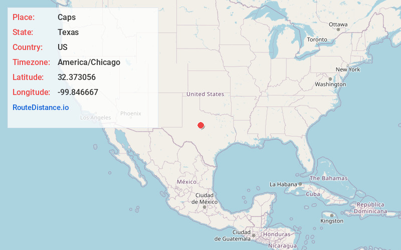
Full AddressCaps, TX 79606
-
Coordinates32.373056, -99.846667
-
LocationCaps , Texas , US
-
TimezoneAmerica/Chicago
-
Current Local Time2:08:05 PM America/ChicagoTuesday, June 24, 2025
-
Page Views0
About Caps
Caps is an unincorporated community in Taylor County, Texas, United States. It is located southwest of Abilene near the intersection of U.S. Highway 277 and FM 707. The community is part of the Abilene Metropolitan Statistical Area.
Caps was first settled in the early 1880s.


Nearby Places
Found 10 places within 50 miles

View
3.0 mi
4.8 km
View, TX 79606
Get directions

Tye
6.0 mi
9.7 km
Tye, TX
Get directions

Buffalo Gap
6.6 mi
10.6 km
Buffalo Gap, TX 79508
Get directions

Abilene
8.7 mi
14.0 km
Abilene, TX
Get directions

Potosi
11.5 mi
18.5 km
Potosi, TX 79602
Get directions

Tuscola
11.7 mi
18.8 km
Tuscola, TX 79562
Get directions

Merkel
11.8 mi
19.0 km
Merkel, TX 79536
Get directions
Blair
12.9 mi
20.8 km
Blair, TX 79536
Get directions
Stith
13.3 mi
21.4 km
Stith, TX 79536
Get directions
Hodges
15.0 mi
24.1 km
Hodges, TX 79525
Get directions
Location Links
Local Weather
Weather Information
Coming soon!
Location Map
Static map view of Caps, Texas
Browse Places by Distance
Places within specific distances from Caps
Short Distances
Long Distances
Click any distance to see all places within that range from Caps. Distances shown in miles (1 mile ≈ 1.61 kilometers).