Distance to Capshaw, Alabama

Calculating Your Route
Just a moment while we process your request...
Location Information
-
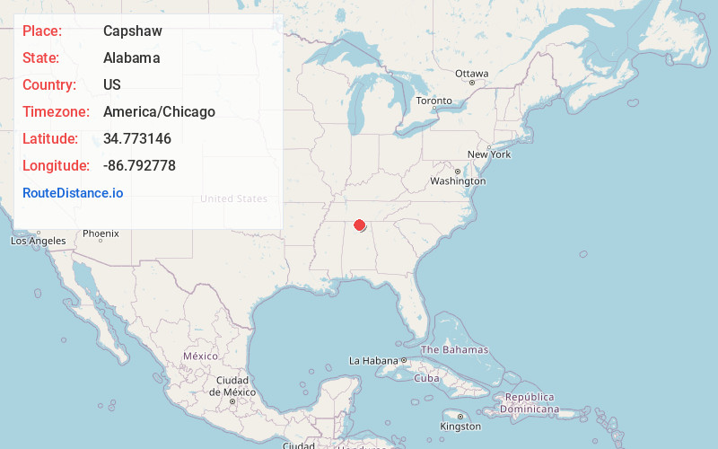
Full AddressCapshaw, AL 35749
-
Coordinates34.7731456, -86.7927781
-
LocationCapshaw , Alabama , US
-
TimezoneAmerica/Chicago
-
Current Local Time10:58:29 PM America/ChicagoWednesday, June 18, 2025
-
Page Views0
About Capshaw
Capshaw, formerly known as Lax, is an unincorporated community in eastern Limestone County, Alabama, United States. It is located at the intersection of Capshaw, Sanderson and NW Dupree Worthey Roads. It is now mostly a part of Huntsville with the southern portion near Highway 72 being part of Madison City.


Nearby Places
Found 10 places within 50 miles

Clarkdale
2.6 mi
4.2 km
Clarkdale, AL 35749
Get directions
Monrovia
4.6 mi
7.4 km
Monrovia, AL 35806
Get directions
Cluttsville
4.7 mi
7.6 km
Cluttsville, AL 35749
Get directions
Rainbow Mountain Heights
4.8 mi
7.7 km
Rainbow Mountain Heights, AL 35758
Get directions
Fairmount
5.2 mi
8.4 km
Fairmount, AL 35613
Get directions
Maplewood
5.5 mi
8.9 km
Maplewood, Madison, AL 35758
Get directions
Jeff
5.7 mi
9.2 km
Jeff, AL 35749
Get directions

Madison
5.7 mi
9.2 km
Madison, AL
Get directions
Clift Acres
5.8 mi
9.3 km
Clift Acres, Madison, AL 35758
Get directions
Nolan Hills
5.9 mi
9.5 km
Nolan Hills, Madison, AL 35758
Get directions
Location Links
Local Weather
Weather Information
Coming soon!
Location Map
Static map view of Capshaw, Alabama
Browse Places by Distance
Places within specific distances from Capshaw
Short Distances
Long Distances
Click any distance to see all places within that range from Capshaw. Distances shown in miles (1 mile ≈ 1.61 kilometers).