Distance to Carbon, Wyoming

Calculating Your Route
Just a moment while we process your request...
Location Information
-
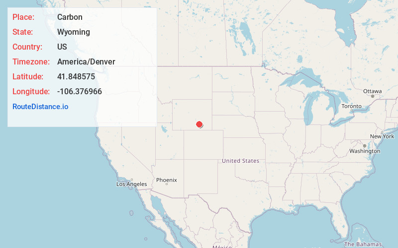
Full AddressCarbon, WY
-
Coordinates41.8485752, -106.3769657
-
LocationWyoming , US
-
TimezoneAmerica/Denver
-
Current Local Time12:25:43 PM America/DenverTuesday, July 1, 2025
-
Page Views0
About Carbon
Carbon is a ghost town in Carbon County, Wyoming, United States. It is 9.5 miles west-southwest of Medicine Bow. The Carbon Cemetery, which is listed on the National Register of Historic Places, is located in Carbon.
Nearby Places
Found 10 places within 50 miles

Medicine Bow
9.4 mi
15.1 km
Medicine Bow, WY 82329
Get directions

Hanna
9.6 mi
15.4 km
Hanna, WY 82327
Get directions

Elk Mountain
11.2 mi
18.0 km
Elk Mountain, WY 82324
Get directions

Como Ridge
14.9 mi
24.0 km
Como Ridge, Wyoming
Get directions

McFadden
18.5 mi
29.8 km
McFadden, WY 82083
Get directions
Arlington
19.6 mi
31.5 km
Arlington, WY 82083
Get directions
Coyote Springs
20.8 mi
33.5 km
Coyote Springs, WY 82335
Get directions

Rock River
22.0 mi
35.4 km
Rock River, WY 82083
Get directions

Walcott
24.9 mi
40.1 km
Walcott, WY 82335
Get directions
Cooper Lake
34.7 mi
55.8 km
Cooper Lake, WY 82051
Get directions
Location Links
Local Weather
Weather Information
Coming soon!
Location Map
Static map view of Carbon, Wyoming
Browse Places by Distance
Places within specific distances from Carbon
Short Distances
Long Distances
Click any distance to see all places within that range from Carbon. Distances shown in miles (1 mile ≈ 1.61 kilometers).