Distance to Carbonado, Washington

Calculating Your Route
Just a moment while we process your request...
Location Information
-
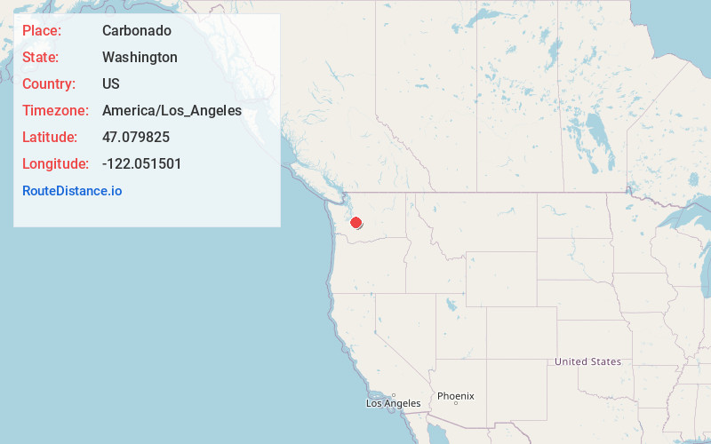
Full AddressCarbonado, WA 98323
-
Coordinates47.0798248, -122.0515005
-
LocationCarbonado , Washington , US
-
TimezoneAmerica/Los_Angeles
-
Current Local Time9:17:02 AM America/Los_AngelesMonday, June 23, 2025
-
Page Views0
About Carbonado
Carbonado is a town in Pierce County, Washington, United States. It is located near the Carbon River in the north of the county, approximately 50 miles southeast of Seattle. Carbonado is the last town before entering Mount Rainier National Park Carbon River Entrance.


Nearby Places
Found 10 places within 50 miles

Prairie Heights
5.5 mi
8.9 km
Prairie Heights, WA
Get directions

Buckley
5.9 mi
9.5 km
Buckley, WA
Get directions

Prairie Ridge
6.1 mi
9.8 km
Prairie Ridge, WA
Get directions

Tehaleh
6.9 mi
11.1 km
Tehaleh, WA
Get directions

Orting
7.3 mi
11.7 km
Orting, WA 98360
Get directions

Enumclaw
9.0 mi
14.5 km
Enumclaw, WA 98022
Get directions

Bonney Lake
9.3 mi
15.0 km
Bonney Lake, WA 98391
Get directions

Alderton
10.4 mi
16.7 km
Alderton, WA
Get directions

Graham
11.6 mi
18.7 km
Graham, WA
Get directions

South Hill
11.8 mi
19.0 km
South Hill, WA
Get directions
Location Links
Local Weather
Weather Information
Coming soon!
Location Map
Static map view of Carbonado, Washington
Browse Places by Distance
Places within specific distances from Carbonado
Short Distances
Long Distances
Click any distance to see all places within that range from Carbonado. Distances shown in miles (1 mile ≈ 1.61 kilometers).