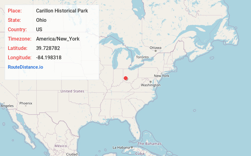
Distance to Carillon Historical Park, Ohio

Calculating Your Route
Just a moment while we process your request...
Location Information
-
Full AddressCarillon Historical Park, 1000 Carillon Blvd, Dayton, OH 45409
-
Coordinates39.7287819, -84.1983182
-
Street1000 Carillon Blvd
-
NeighborhoodUniversity Park
-
LocationDayton , Ohio , US
-
TimezoneAmerica/New_York
-
Current Local Time9:05:13 AM America/New_YorkFriday, June 13, 2025
-
Website
-
Page Views0
About Carillon Historical Park
A 65-acre open-air museum with transportation exhibits, a 4-D theater & costumed interpreters.


Nearby Places
Found 10 places within 50 miles

Moraine
1.9 mi
3.1 km
Moraine, OH
Get directions

Dayton
2.1 mi
3.4 km
Dayton, OH
Get directions

Kettering
3.1 mi
5.0 km
Kettering, OH
Get directions
New Chicago
3.2 mi
5.1 km
New Chicago, Jefferson Township, OH 45417
Get directions
Frytown
4.1 mi
6.6 km
Frytown, Jefferson Township, OH 45417
Get directions

West Carrollton
4.8 mi
7.7 km
West Carrollton, OH
Get directions
Drexel
4.8 mi
7.7 km
Drexel, OH 45417
Get directions
Clement
5.0 mi
8.0 km
Clement, Riverside, OH 45432
Get directions

Riverside
5.3 mi
8.5 km
Riverside, OH
Get directions
Mt St John
5.3 mi
8.5 km
Mt St John, Beavercreek, OH 45430
Get directions
Location Links
Local Weather
Weather Information
Coming soon!
Location Map
Static map view of Carillon Historical Park, Ohio
Browse Places by Distance
Places within specific distances from Carillon Historical Park
Short Distances
Long Distances
Click any distance to see all places within that range from Carillon Historical Park. Distances shown in miles (1 mile ≈ 1.61 kilometers).