Distance to Carlinville, Illinois

Calculating Your Route
Just a moment while we process your request...
Location Information
-
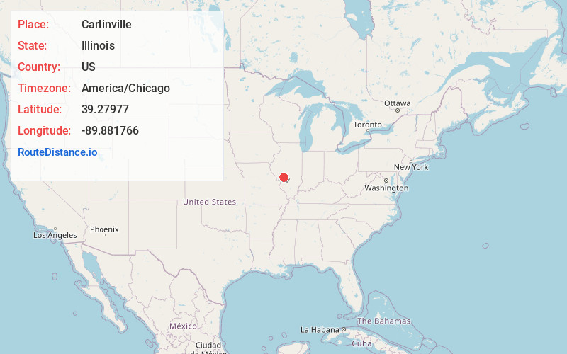
Full AddressCarlinville, IL 62626
-
Coordinates39.2797699, -89.8817662
-
LocationCarlinville , Illinois , US
-
TimezoneAmerica/Chicago
-
Current Local Time1:20:59 PM America/ChicagoThursday, May 29, 2025
-
Website
-
Page Views0
About Carlinville
Carlinville is a city in and the county seat of Macoupin County, Illinois, United States. As of the 2020 census, the population was 5,710.
It is the home of Blackburn College, a small college affiliated with the Presbyterian church. The city is the former home of Prairie Farms Dairy.


Nearby Places
Found 10 places within 50 miles

Litchfield
14.2 mi
22.9 km
Litchfield, IL
Get directions

Jerseyville
26.3 mi
42.3 km
Jerseyville, IL 62052
Get directions

Bethalto
27.0 mi
43.5 km
Bethalto, IL
Get directions

Godfrey
27.2 mi
43.8 km
Godfrey, IL
Get directions

Chatham
29.0 mi
46.7 km
Chatham, IL
Get directions

Wood River
31.2 mi
50.2 km
Wood River, IL
Get directions

Alton
31.4 mi
50.5 km
Alton, IL
Get directions

Edwardsville
32.6 mi
52.5 km
Edwardsville, IL
Get directions

Jacksonville
36.4 mi
58.6 km
Jacksonville, IL 62650
Get directions

Taylorville
36.4 mi
58.6 km
Taylorville, IL
Get directions
Location Links
Local Weather
Weather Information
Coming soon!
Location Map
Static map view of Carlinville, Illinois
Browse Places by Distance
Places within specific distances from Carlinville
Short Distances
Long Distances
Click any distance to see all places within that range from Carlinville. Distances shown in miles (1 mile ≈ 1.61 kilometers).