Distance to Carlton, Montana

Calculating Your Route
Just a moment while we process your request...
Location Information
-
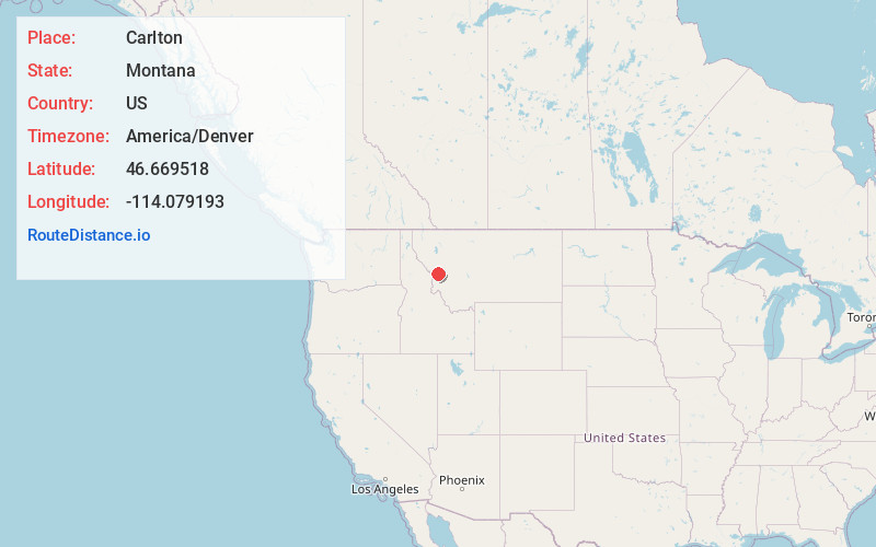
Full AddressCarlton, MT 59833
-
Coordinates46.6695179, -114.079193
-
LocationCarlton , Montana , US
-
TimezoneAmerica/Denver
-
Current Local Time5:51:12 PM America/DenverThursday, June 19, 2025
-
Page Views0
About Carlton
Carlton is a census-designated place in Missoula County, Montana, United States. The population was 721 at the 2020 census.
Nearby Places
Found 10 places within 50 miles

Florence
2.6 mi
4.2 km
Florence, MT 59833
Get directions

Lolo
6.1 mi
9.8 km
Lolo, MT
Get directions

Stevensville
11.0 mi
17.7 km
Stevensville, MT 59870
Get directions

Orchard Homes
13.5 mi
21.7 km
Orchard Homes, MT
Get directions

Missoula
14.6 mi
23.5 km
Missoula, MT
Get directions

East Missoula
15.3 mi
24.6 km
East Missoula, MT 59802
Get directions
Piltzville
16.8 mi
27.0 km
Piltzville, MT 59802
Get directions

Victor
17.8 mi
28.6 km
Victor, MT 59875
Get directions
Clinton
18.7 mi
30.1 km
Clinton, MT 59825
Get directions

Wye
19.7 mi
31.7 km
Wye, MT 59808
Get directions
Location Links
Local Weather
Weather Information
Coming soon!
Location Map
Static map view of Carlton, Montana
Browse Places by Distance
Places within specific distances from Carlton
Short Distances
Long Distances
Click any distance to see all places within that range from Carlton. Distances shown in miles (1 mile ≈ 1.61 kilometers).